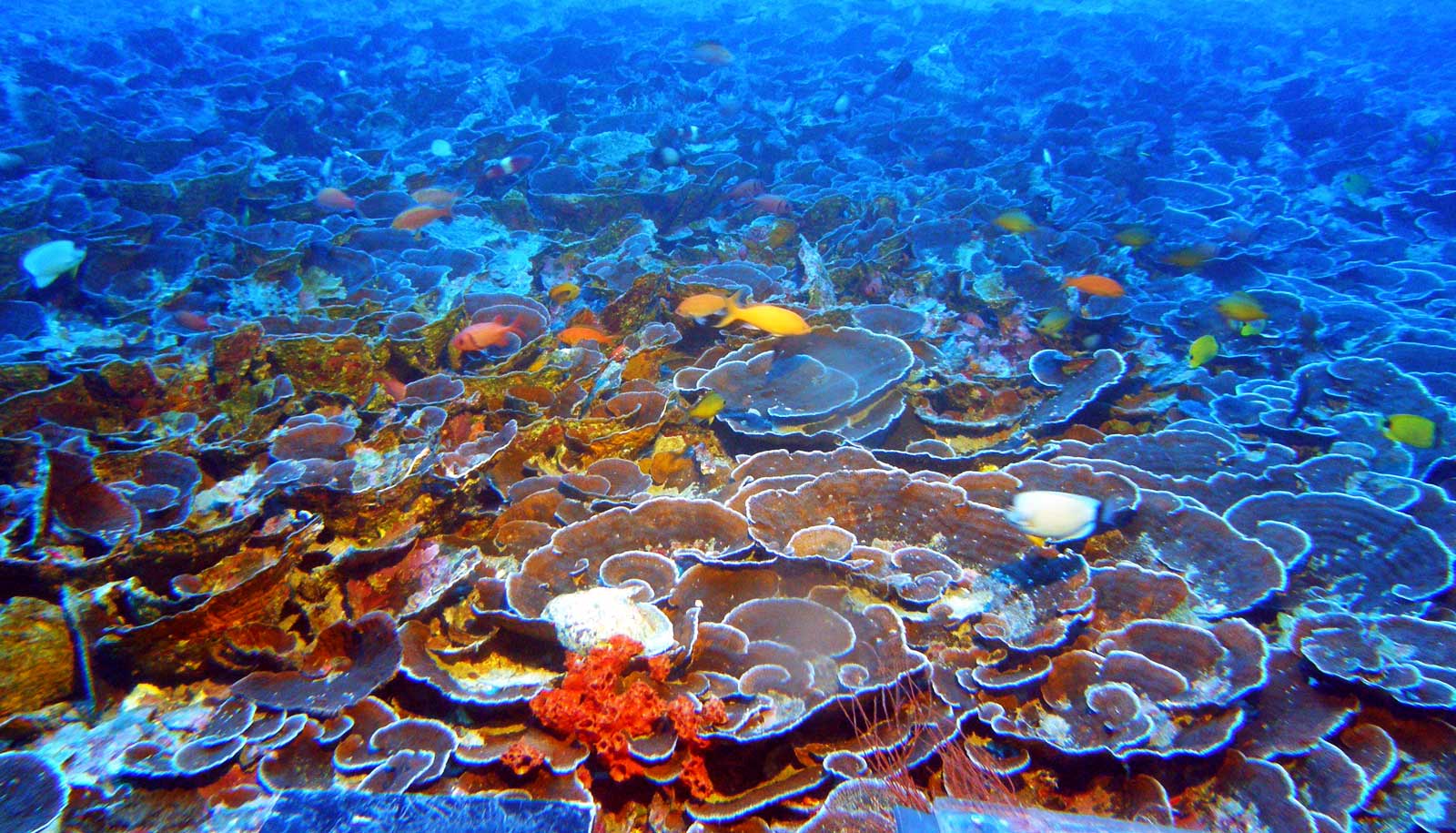
Submarine canyons are surprisingly and fundamentally different from ravines on land, researchers report.
Submarine canyons are a final frontier on planet Earth. There are thousands of these breathtaking geological features hidden within the depths of the ocean—yet scientists have more high-resolution imagery of the surface of Mars than of Earth’s ocean floor.
In an effort to shed light on these mysterious underwater features, researchers analyzed a collection of global images from an online repository of data from the ocean floor.
“People would say, ‘Oh well, there is no real difference between the two systems because at the end of the day, a river flowing versus a sediment gravity flow flowing—they’re just going to do the same thing,'” says lead author Stephen Dobbs, a PhD candidate in geological sciences at Stanford University. “And it turns out that’s not necessarily the case.”

The frontier of submarine canyons
The researchers analyzed multi-beam sonar data, which ships or small underwater vehicles just above the sea floor that send a sonar wave collect and inform the creation of maps of the seafloor. They acquired data for the study from the Global Multi-Resolution Topography synthesis, an open-source online repository. Dobbs says it was surprising to discover differences in the underwater and above-ground canyons, since on a map, it’s not possible to distinguish formations 9,000 feet underwater from canyons that are 9,000 feet above ground.
“When you look from a purely qualitative sense—when you’re just looking at a map—they look shockingly similar,” says Dobbs. “We needed to use a quantitative method to actually test if these are different systems.”
The scientists found distinctions in the shapes and profiles of submarine canyons. On land, large flood events or landslides often trigger significant changes in canyon shape. Under water, researches hypothesize that periodic landslides from extreme steepness, seismic activity, or large winter storms that funnel a lot of sediment from the shallow continental shelf form submarine canyons.
“This is all frontier—we don’t actually know the answers to these things,” Dobbs says. “Now we have all these measurements and we can more aptly look at what causes these formations.”
Coauthor George Hilley, a professor of geological sciences, says most people don’t realize that sediment-laden water can erode the seafloor, never mind the fact that these flows have carved features deeper than the Grand Canyon right off the coast of Monterey. Because a lot of high-resolution imagery has been collected in recent years, the faculty members knew it should be possible to analyze a large sampling of the underwater features.
“We used the seminar as a vehicle for answering whether or not the forms produced by these density flows share essential characteristics with those produced by rivers,” Hilley says. “By asking these questions using real data, everyone learned how to formulate hypotheses and falsify them using sophisticated data analysis.”
From Earth to Mars?
Dobbs says he is excited about the prospect of using these methods to understand not only geology on Earth but also on other planets.
For example, it could help researchers understand Martian landscapes, which are pocked with features that may share similarities with Earth’s canyons. The research is also relevant to ocean-dependent industries, including communications companies—whose data cables can be severed by events in submarine canyons—as well as offshore energy and oil and gas operations.
“These things have huge impacts on Earth systems and they are fundamentally not understood,” Dobbs says. “We’re just now able to actually measure them in a rigorous geomorphic sense and from that, we’re able to make inferences about both how they form and how they influence our systems and our cycles.”
Dobbs plans to continue working with this data set in order to learn more about submarine canyon formation and behavior.
“The exciting thing for me is that—while I love fieldwork—we can literally discover new things using very simple tools that are available to the public and open access,” he says.
The research appears in Geology.
Source: Stanford University