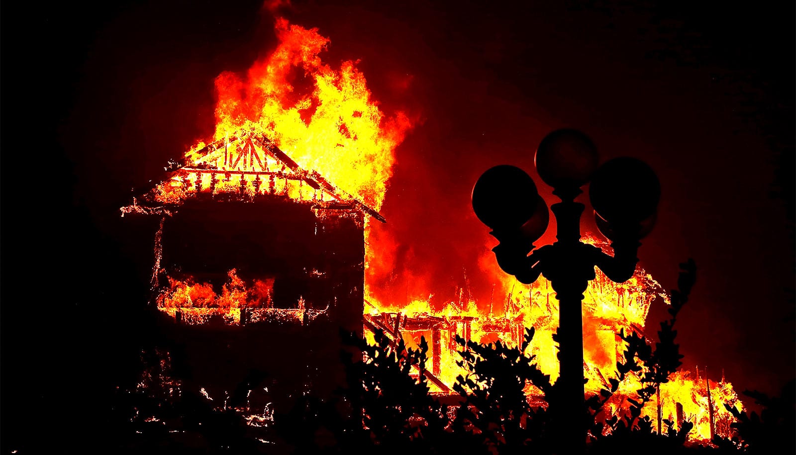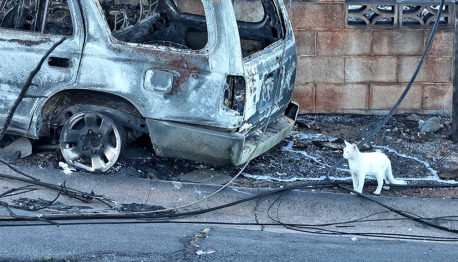
Researchers have created new detailed maps of the devastating fires in Maui.
The maps can be used to help work out where and when the fires occurred to guide where postfire remediation activities should be prioritized and to assess future fire risk.
The researchers created the maps using high-resolution commercial satellite images from Planet Labs PBC, an American public Earth imaging company based in San Francisco, California.
The researchers used a sequence of images acquired from August 3 to August 13 to map the area burned at 3-by-3-meter resolution. The images offer a breakthrough for fire mapping from space, says David Roy, director of Michigan State University’s Center for Global Change and Earth Observations.
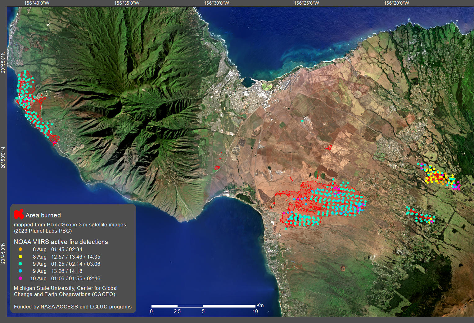
“By using the Planet Labs images and a new artificial intelligence algorithm, we can map the area burned in much greater detail than before,” Roy says. “The only global coverage burned area products processed on a systematic basis are generated by NASA, and map burned areas at 500 by 500 meters, which is a much coarser level of detail.”
Roy is a member of the NASA science team that developed and maintains the global burned area product that has been used for the last 20 years to map fires from space at 500-by-500-meter resolution. Roy is developing new mapping algorithms with funding from NASA along with assistant professor Haiyan Huang and Hugo De Lemos, a postdoctoral research associate, both at Michigan State.
“When combined with satellite detections of actively burning fires, the patterns of fire across Maui are quite evident from our maps. The active fire detections superimposed on the burned area map show that the fires were burning in the East and continued to burn there, while the fires in Lahaina occurred later,” De Lemos says.
“The fire radiative power is related to the fire intensity, and the maps show that intense fires were burning across the island, although the cause is still being investigated,” Huang says.
The researchers team discussed their Maui fire maps with colleagues at the University of Hawai’i at Mānoa. Clay Trauernicht, an expert in ecosystems and fire at the university, notes that the fires burned so rapidly because of the windy and dry conditions and the presence of large amounts of non-native grasses that grew in previous wet years.
“If there’s any silver lining, it is that the vegetation can be manipulated in the future to reduce fire risk and create safer conditions for firefighters and our communities,” Trauernicht says.
“New detailed satellite-derived maps like these will play an increasingly valuable role for synoptic assessment of fire and postfire remediation,” says Tomoaki Miura, head of the department of natural resources and environmental management at the University of Hawai’i at Mānoa.
“As we see climate and land use changes create new conditions conducive to wildfires, satellite technology will help us make better decisions to guide the rebuilding process after wildfires. It also will help scientists to model and understand the drivers and constraints on fire and, hopefully, prevent future catastrophic damage,” Roy says.
Source: Michigan State