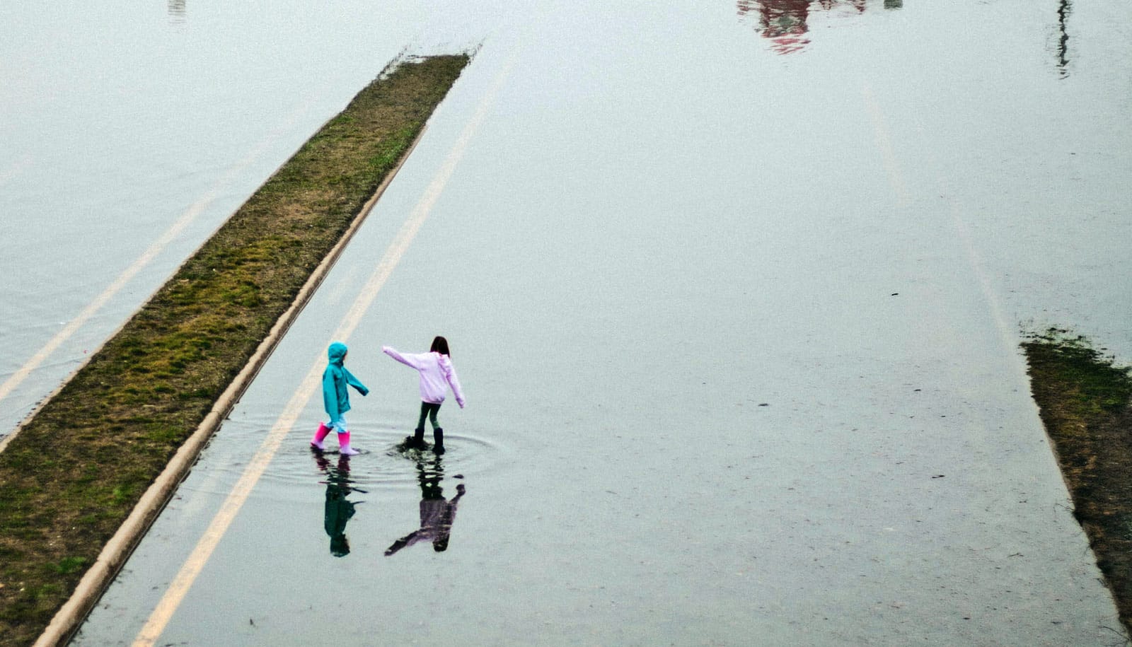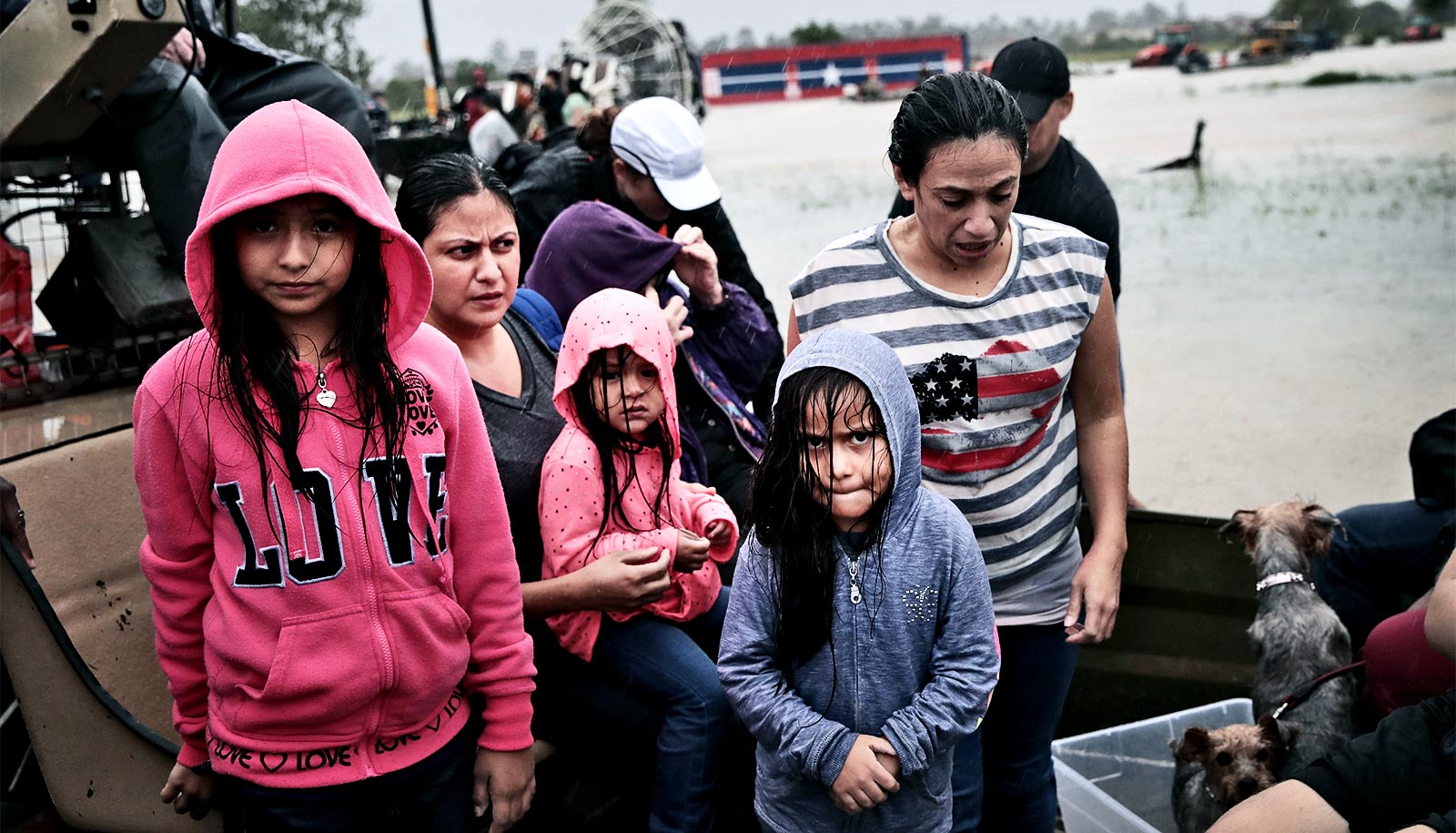
Community collaboration and high-resolution maps are key to effective flood risk management, according to a new study.
Researchers report a new process called “collaborative flood modeling” can successfully address the increasing threat of rising waters due to climate change, aging infrastructure, and rapid urban development.
“The impacts of flooding continue to escalate in the US and around the world, and the main culprit is urban growth in harm’s way, with communities underprepared to deal with extreme events that are getting more intense in a warming climate,” says Brett Sanders, professor of civil & environmental engineering at the University of California, Irvine, and lead author of the paper in the journal Earth’s Future.
“Our approach rests on making modern flood simulation technologies accessible and useful to everyone within at-risk communities.”
Collaborative flood management
Researchers put the method into practice during the Flood-Resilient Infrastructure & Sustainable Environments project. Beginning in 2013, FloodRISE teams worked in two Southern California coastal areas at risk of flooding—Newport Bay and the Tijuana River Valley—gathering data, conducting surveys, and holding face-to-face meetings with residents.
The technique showed considerable traction in the two regions. For example, following focus group meetings, Newport Beach managers asked FloodRISE engineers for flood elevation datasets to integrate into the geographic information systems the planning department uses.
And after joint sessions in the Tijuana River Valley, San Diego County officials called for additional flood hazard modeling related to proposed dredging, and Tijuana River National Estuarine Research Reserve authorities requested flood hazard information related to a planned road realignment and marsh restoration project.
Collaborative flood modeling combines the experiences and concerns of residents, landowners, government officials, and business leaders with the knowledge and technological capabilities of academic researchers to foster a shared understanding of flood risk.
A crucial element of any such effort is the iterative development of high-resolution flood maps, or visualizations, based on hydrologic models and the insights of people who have lived through past floods.
“When we integrate what people in vulnerable communities have learned with the expertise of civil engineers and social scientists, we create more accurate and more functional flood maps customized for the specific needs of a community,” says Richard Matthew, professor of urban planning & public policy and faculty director of the Blum Center for Poverty Alleviation.
“This takes us away from the one-size-fits-all approach to flood mapping that’s widely in use today. We also found that residents gain a much deeper and more shared awareness of flooding through these highly detailed maps. This is critical for stimulating productive dialogue and deliberation about how to manage risks.”
Skip the technical jargon
Collaborative flood modeling exercises such as those conducted through FloodRISE open flood-related decision-making to diverse groups of constituents, giving them helpful insights into the spatial extent, intensity, timing, chance, and consequences of flooding, Sanders says.
Researchers designed the approach to complement the flood insurance program administered the Federal Emergency Management Agency administers so that a wide range of planning, land use, and behavioral choices come from the best available science in the form of intuitive and accurate flood simulations.
“We have tried to focus on eliminating much of the technical terminology from our discussions with community members,” Sanders says. “We advocate a bottom-up alternative to what has become a top-down process of flood hazard mapping filled with technical jargon that’s short-circuiting important contemplation and dialogue about flooding.”
Communities have embraced the new process, Sanders says. “Existing maps that depict flood risks are difficult to interpret, with cryptic classifications such as ‘Zone X’ and ‘Zone VE.’ We found that communities were eager to have access to this more intuitive and useful information and were quick to adopt it, especially for planning and land management purposes.”
“Our next step is to combine these powerful visualization tools with socioeconomic data to anticipate how different types of severe flooding are likely to affect poor communities in California and then co-develop with them risk management strategies,” Matthew adds. “This is critical if we want to try to avoid the enormous and long-term devastation we’ve seen when large flood events affect poorer communities on the East Coast.”
The National Science Foundation funded the FloodRISE project.
Source: UC Irvine