An algorithm that reads satellite images could help environmental regulators identify potentially polluting agricultural facilities more efficiently than traditional approaches.
Researchers figured out a way for machine learning—teaching a computer how to identify and analyze patterns in data—to efficiently locate industrial animal operations and help regulators determine each facility’s environmental risk.
No federal agency has reliable information on the number, size, and location of large-scale agricultural operations.
“Our work shows how a government agency can leverage rapid advances in computer vision to protect clean water more efficiently,” says Daniel Ho, professor of law at Stanford University and a senior fellow at the Stanford Institute for Economic Policy Research.
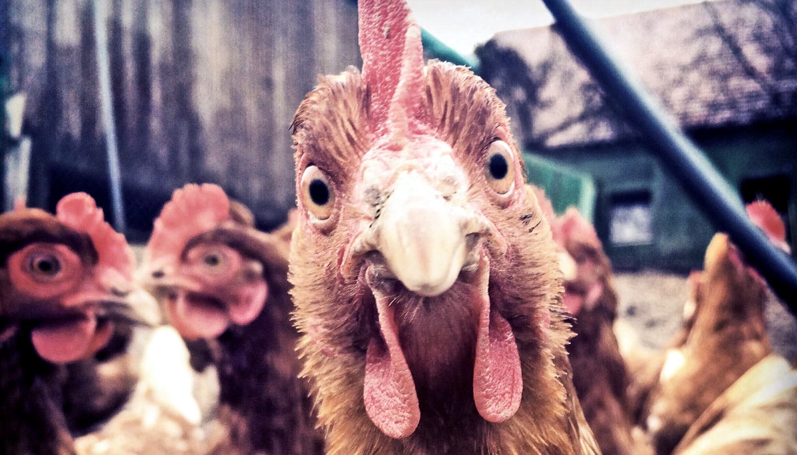
According to the Environmental Protection Agency, agriculture is the leading contributor of pollutants into the nation’s water supply, with substantial pollution believed to come from large-scale, concentrated animal feeding operations, known also as CAFOs.
But a basic problem stymies environmental monitoring efforts: Regulators have no systematic way of determining where CAFOs are located, Ho says. The United States Government Accountability Office reports that no federal agency has reliable information on the number, size, and location of large-scale agricultural operations.
While the Clean Water Act does require some federal permitting, it only applies to operations that actually discharge pollutants into US waterways—not facilities that could potentially cause contamination—intentionally or not, Ho says.
With no definite list to turn to, efforts to monitor potentially polluting facilities are difficult and, in some cases, impossible.
“This information deficit stifles enforcement of the environmental laws of the United States,” Ho says.
Searching from above
Some environmental and public interest groups have tried to identify facilities themselves by scanning terrain manually or poring over aerial photos, but they have found it an incredibly time-intensive task. It took one environmental group over three years to look at images from just one state. People could never scale or do these kind of monitoring efforts in real time, Ho says.
Ho and Cassandra Handan-Nader, then a research fellow at Stanford Law School and now pursuing a doctorate in political science, turned their attention to a type of artificial intelligence called deep learning. A subset of machine learning, deep learning algorithms have revolutionized the ability to detect complex objects in imagery.
With the help of several open source tools and a team of students in economics and computer science to assist with data analysis, the researchers were able to retrain an existing image-recognition model to recognize large-scale animal facilities by using information that two nonprofit groups collected, as well as publicly available satellite images from the USDA’s National Agricultural Imagery Program (NAIP).
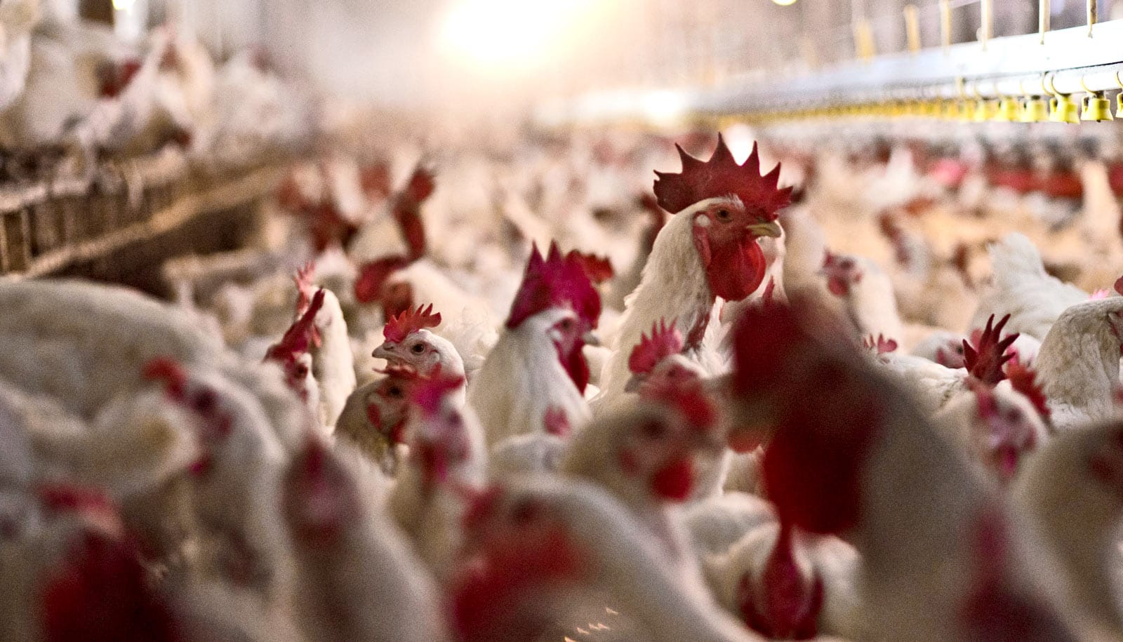
Poultry and swine
The researchers focused on trying to identify poultry facilities in North Carolina because officials don’t require most to obtain permits, Ho says.
The researchers retrained the model, already savvy in scanning images based on an enormous corpus of digital images, to pick up on similar clues that the environmental organizations manually monitored.
For example, the model identified swine farms because compact rectangular barns abutted large liquid manure pits, and poultry because of long rectangular barns and dry manure storage. Homing in on these prominent features also allowed the the model to provide size estimates for the facilities.
The researchers found that their algorithm was able to identify 15 percent more poultry farms than manual nedeavors had originally found. And because their approach could scale across years of NAIP imagery, the algorithm was able to accurately estimate growth by identifying any changes, in this case, a new building construction—a feed mill.
“The model detected 93 percent of all poultry CAFOs in the area, and was 97 percent accurate in determining which ones appeared after the feed mill opened,” Handan-Nader and Ho write in the paper, which appears in Nature Sustainability.
Enhanced monitoring
The researchers hope that machine learning can complement the human monitoring efforts of environmental agencies and interest groups.
“Now all kinds of researchers with programming ability can harness these open-source tools for novel applications,” says Handan-Nader, a coauthor of the paper. “You can stand on the shoulders of giants and expand on what experts in these kinds of machine learning techniques have done.”
Using machine learning for rote tasks can free people to do more complex ones, such as determining the possible environmental hazards of a facility, Handan-Nader says. The researchers estimated that their algorithm could capture 95 percent of existing large-scale facilities using fewer than 10 percent of the resources required for a manual census.
Ho and Handan-Nader hope that, eventually, advances in aerial imagery will allow a computer model to detect actual discharge into waterways.
“Increasingly, complex social problems cannot be solved from the confines of a narrow discipline alone, and the ability to leverage innovation cross-campus can help address core problems of law and public policy,” Ho says.
The Stanford Institute for Economic Policy Research and the GRACE Communications Foundation funded the work.
Source: Stanford University