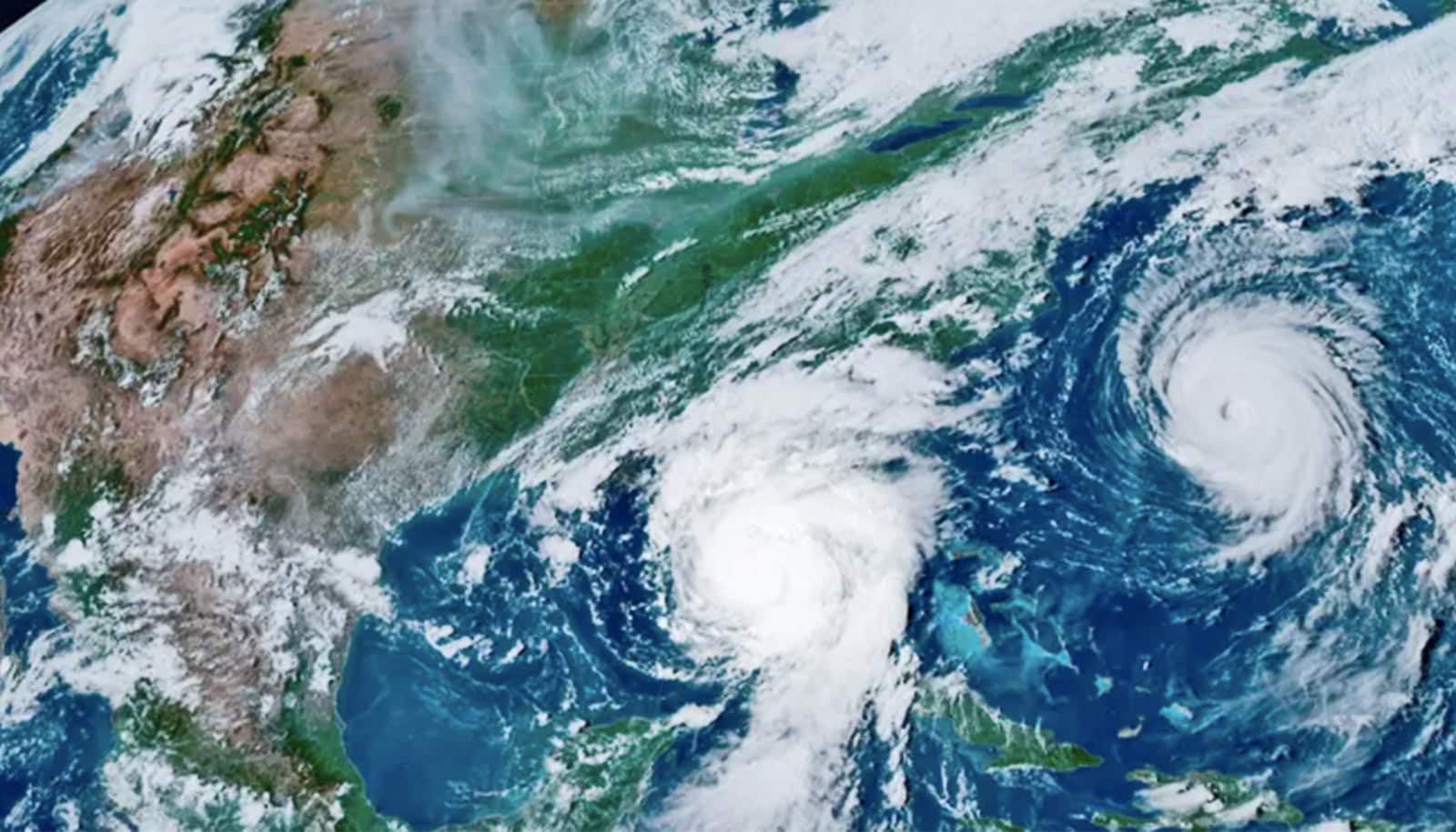
New research reveals a physical link between the speed and location of the jet stream and the strength of the polar vortex, a swirl of air that usually hovers over the Arctic.
If you can predict the path of the jet stream, the upper atmosphere’s undulating river of wind, then you can predict weather—not just for a week or two, but for an entire season. The new study moves toward that level of foresight.
“The jet stream sets everything,” says Aditi Sheshadri, lead author and assistant professor of Earth system science in the School of Earth, Energy, & Environmental Sciences at Stanford University. “Storms ride along it. They interact with it. If the jet stream shifts, the place where the storms are strongest will also shift.”
Two modes
The new study identifies two distinct modes in how air flows within the jet stream and the layers of atmosphere that sandwich it.
In one mode, changes in wind speed and direction start close to the equator in the troposphere, the wet, stormy layer of atmosphere below the jet stream and closest to Earth’s surface. Shifts of wind in this mode quickly propagate up through the jet stream and into the polar vortex in the dry, upper layer of atmosphere known as the stratosphere.
In the other mode, the strength of the stratosphere’s polar vortex influences the path and strength of the jet stream—and how it interacts with storms in the troposphere. In this mode, the polar vortex sends a signal all the way down to the surface like a pulse. A weaker vortex produces a weak jet stream that slips toward the equator; a stronger vortex intensifies the jet stream while drawing it poleward.
“These deep vertical structures haven’t been shown before,” Sheshadri says. “It’s something fundamental about the system itself.”
Her analysis could help explain the surface weather impacts of an event that occurred in early 2018, when the vortex weakened so much that it ripped in two—a phenomenon that scientists know can blast up to two months of extreme weather into western Europe. Until now, understanding of these interactions has been based on observations and statistical modeling rather than knowledge of their physical foundation.
These modes could be key to predicting the long-term effects of certain environmental changes on Earth’s surface. While air is thought to flow relatively independently within the troposphere and stratosphere in normal winters, depleted ozone, high levels of greenhouse gases, ocean warming, reduced snow cover, and other disturbances can rattle this independence, affecting both the vortex and jet stream in complex ways.
Greenhouse gas emissions, for example, can strengthen the vortex while simultaneously boosting waves that propagate up from the troposphere and weaken the vortex as they break.
“We don’t know which of these two effects of increasing greenhouse gases will win out,” Sheshadri says.
Making better climate models
To help find answers, Sheshadri’s team set out to understand the climate as a system that responds in a predictable way to known forces, despite internal dynamics that are a mix of random and systematic fluctuations. They took a mathematical theorem used for nearly a century to predict seemingly random behavior in quantum mechanical systems and applied it to data representing Earth’s atmosphere in wintertime.
Jet stream makes summer weather hard to forecast
“We have 35 years of wind data,” Sheshadri says. “Can we say something just from those observations about how the winds will change if, for instance, you increase carbon dioxide? That’s what got this whole thing started.”
Current climate models excel at showing temperature changes throughout the atmosphere’s layers over time and with varying levels of substances like ozone or carbon dioxide. “We’re pretty certain about how the temperature structure of the atmosphere is going to change,” Sheshadri says. “However, if you look at changes in things like wind or rain or snow—anything that’s a dynamical quantity—we really have very little idea of what’s going on.”
And yet, these are some of the most vivid metrics for a changing climate. “No one feels the global mean temperature,” Sheshadri says. “How many times over the next 10 years are we going to have to deal with floods or cold snaps in a particular region? That’s the sort of question this might help answer.”
By revealing the physical processes that underpin some of these dynamic variables, the method developed in this study could also help weed out flaws in climate models.
Jet stream changes linked to Europe’s extreme weather
“The way that we currently do this is that you take a model and you run it forward,” checking the model’s predictions against observed data, Sheshadri explains. But many models built upon the same historic data produce different predictions for the future, in part because they make different assumptions about how the troposphere and stratosphere interact and how the jet stream fluctuates. Until now there has not been a way to check those assumptions against the atmosphere’s actual variability.
“We need to be sure the models are right, and for the right reasons,” Sheshadri says. The new work provides a way to resolve that uncertainty—and to anticipate storms months into the future.
The research appears in the journal Journal of Atmospheric Sciences.
Additional coauthors are from the Massachusetts Institute of Technology and ETH Zurich. The Simons Foundation, the National Science Foundation, and the Swiss National Science Foundation funded the work.
Source: Josie Garthwaite for Stanford University


