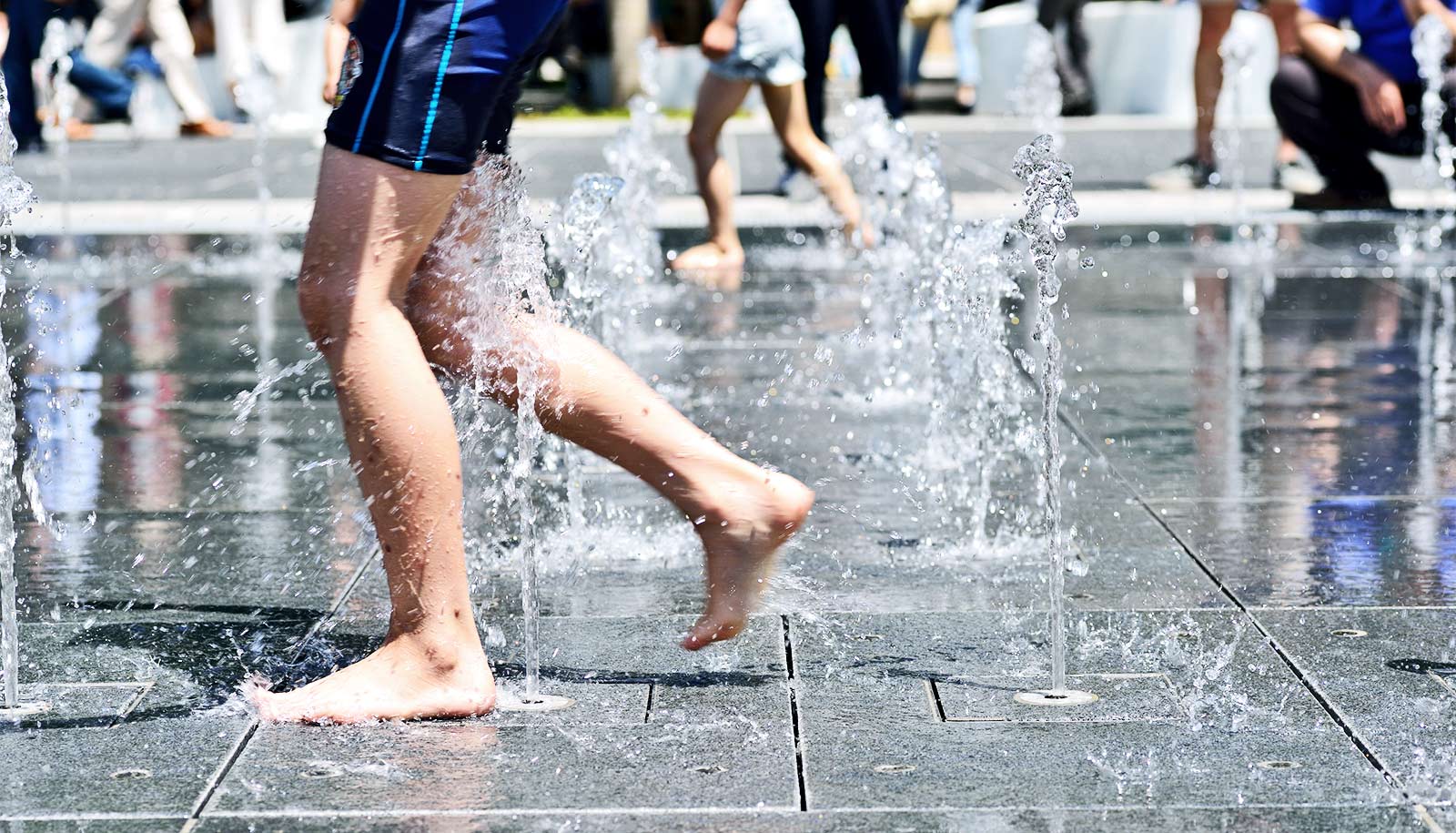
Urban heat islands can lead to dangerous temperatures in the summer months, but there are things city managers can do to reduce the effect, according to a new study.
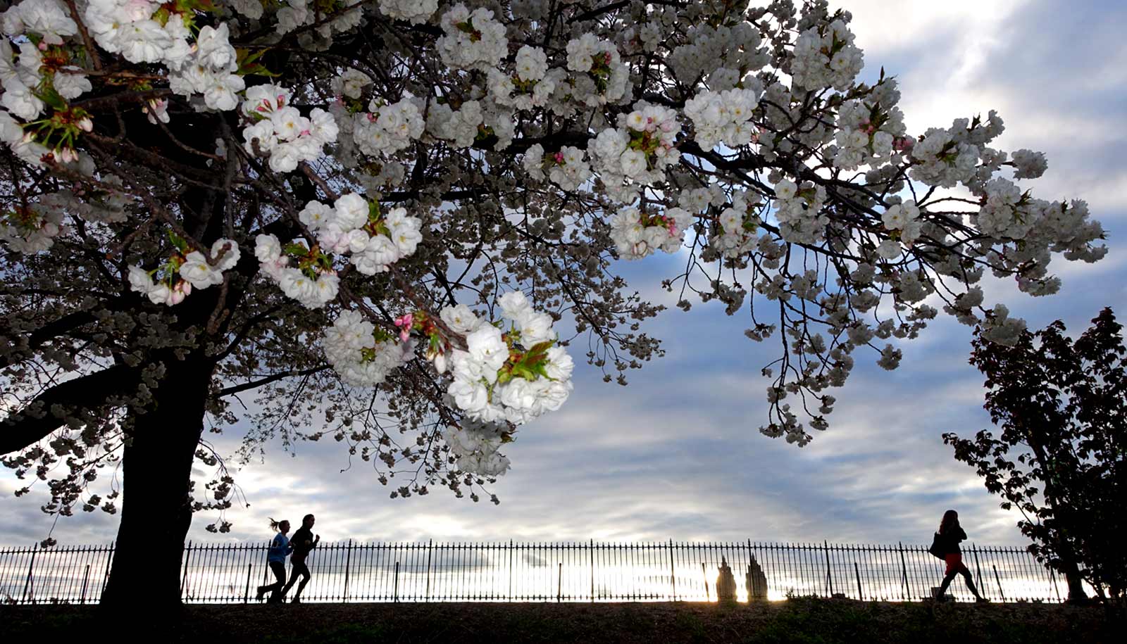
The researchers found that trees had a cooling effect on outdoor air temperature, mean radiant temperature, and predicted mean vote index, a measurement designed to evaluate thermal comfort levels.
Additionally, the researchers determined that higher building-height-to-street-width ratios—when taller buildings create shade for thinner adjacent streets—as well as pavement that is better at reflecting sunlight, or having higher “albedo,” both led to lower mean radiant temperature and greater comfort levels.
The findings could help encourage the adoption of measures that create more favorable temperatures in cities, especially for low-income communities, people of color, and the elderly, who are disproportionately impacted by the urban heat island (UHI) effect, says Guangqing Chi, professor of rural sociology, demography and public health sciences in the College of Agricultural Sciences at Penn State.
“Global warming makes some human habitats unbearably hot, but more so for socially and historically disadvantaged communities,” Chi says. “This interdisciplinary project provides an effective, equitable urban design solution for enhancing resilience against extreme heating.”
Urban heat island hotspots
Published in the journal Buildings, the study was based in Philadelphia, a city that, according to the researchers, experiences high rates of both poverty and extreme weather.
For example, a 2021 study found that Philadelphia had the highest poverty rate out of the most populated cities in the United States, with 22.8% of people in the city living below the poverty level. The city also has experienced its snowiest winter, two warmest summers, wettest day, and two wettest years on record since 2010.
This combination of socioeconomic and climate factors made Philadelphia an ideal location for the study, says Farzad Hashemi, a Hamer Center researcher who will graduate in August with a doctorate in architecture.
“Heat island hotspots and mortality rates tend to be greater in urban blocks with a socially disadvantaged population,” Hashemi says. “This is due to the combination of physical factors, such as impervious surfaces and lack of vegetation, and social factors, such as vulnerability to heat-related health effects.”
For the study, the researchers used the social vulnerability index, or SVI—gathered by the Agency for Toxic Substances and Disease Registry at the Centers for Disease Control and Prevention—along with data about tree coverage to identify two neighborhoods in the city. One had the lowest SVI and high tree coverage and another had the highest SVI and the lowest tree coverage.
Then, they used digital tools to construct 3D models of each neighborhood, incorporating information on construction materials, land cover, albedo, and heat generated by human activities. Additional data included environmental factors, such as air temperature and mean radiant temperature—or the heat given off by buildings and other infrastructure—and urban morphology, such as surface albedo and building-height-to-street-width ratios.
Finally, the researchers ran 24-hour simulations for six scenarios—winter, spring, summer, fall, extreme hot, and extreme cold—in each neighborhood to see how different factors affected each other.
Better city planning
While trees can create a cooling effect, these benefits are limited to their immediate surroundings. Areas without trees had significantly higher mean radiant temperatures, and the effect of trees on air temperature decreased as distance from the tree canopy increased.
Chi says the findings suggest ways that urban climate knowledge can contribute to better city planning and design.
“For example, using taller and denser buildings alongside pavement surfaces with higher albedo could be considered to support more comfortable thermal conditions, particularly in urban blocks with less vegetation coverage,” he says.
“Overall, the study highlights the importance of considering urban morphology and vegetation coverage in the design of sustainable and livable urban environments.”
The project could form the basis for future research utilizing longer simulation cycles and incorporating information on indoor thermal comfort, Hashemi says.
“Our study focused on Philadelphia, which is in the US Northeast region,” he says. “Expanding the data to incorporate more cities from other climate zones, including hot and dry or extremely cold, could give us a better understanding of the effects of urban properties on varying climates and social vulnerability indexes.”
The Institutes of Energy and the Environment seed grant program and the Penn State Hamer Center for Community Design helped support the work.
Source: Penn State