A new method for local early tsunami warnings could give at-risk residents more accurate predictions about wave speed and height.
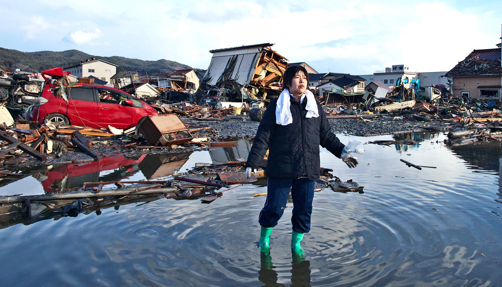
On a Friday afternoon in the spring of 2011, the Tōhoku-Oki earthquake shook northeastern Japan for six minutes and shifted the country’s main island by eight feet. Minutes later, residents began receiving tsunami warnings through broadcast media, mobile phones, and sirens.
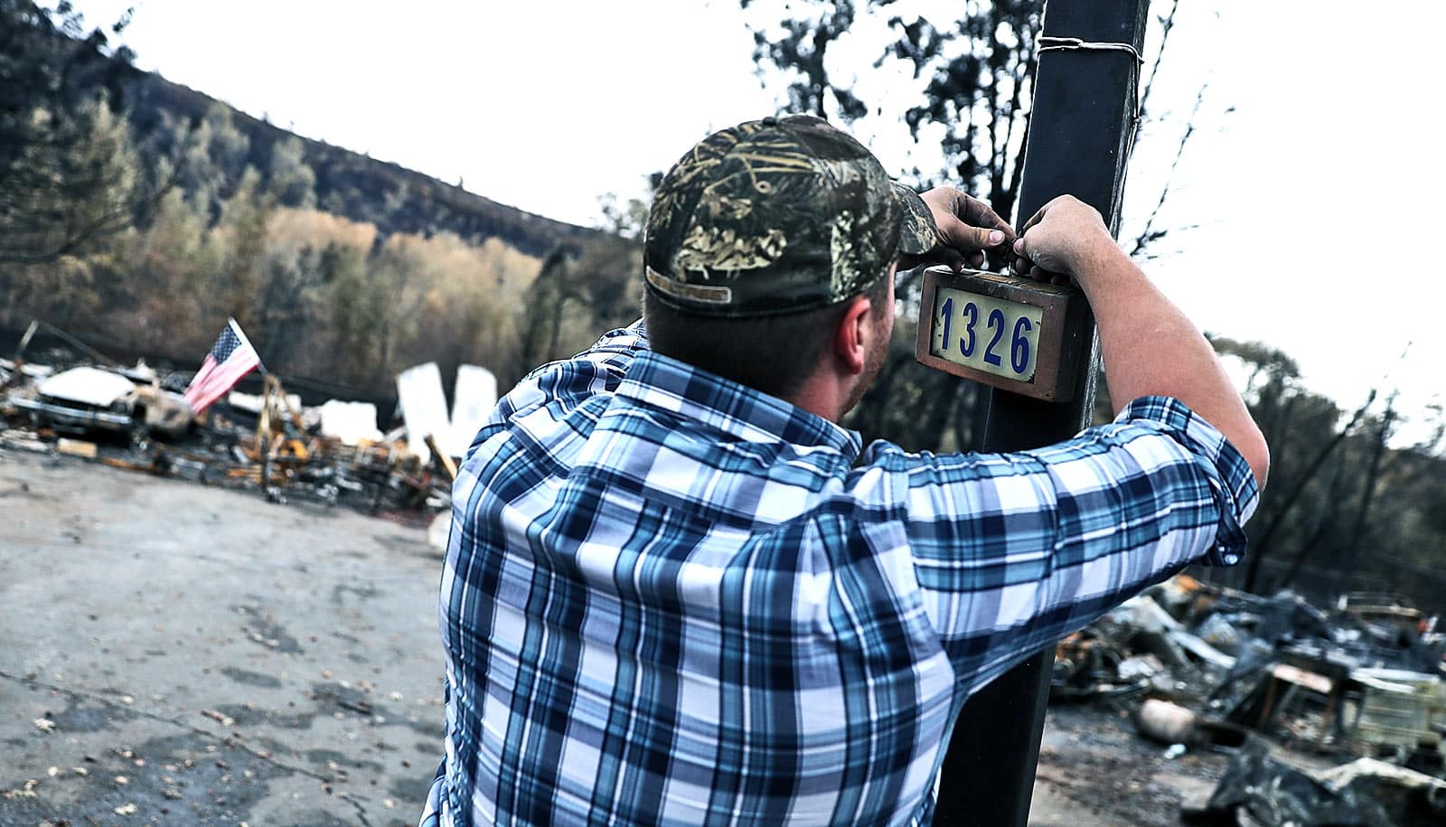
But initial alerts underestimated the size of the waves and many people failed to evacuate to ground high enough to escape the waves that swept over parts of the coastline—some at heights up to 120 feet.
As it emerged from the catastrophe, Japan installed a network of seismic and pressure sensors on the ocean floor that have raised the bar for tsunami early-warning systems worldwide. The new research, which appears Geophysical Research Letters, suggests how warnings could be more accurate by combining data streaming in real-time from sensors like those in Japan with tsunami simulations.
“That means warning coastal residents that a tsunami wave generated 50 or 100 miles offshore is coming in the next 20 to 30 minutes,” says senior author Eric Dunham, an associate professor of geophysics at Stanford University’s School of Earth, Energy & Environmental Sciences.
Here, Dunham and lead author Yuyun Yang, a doctoral student at Stanford’s Institute for Computational & Mathematical Engineering, discuss their method and how in the future it might even be useful in places without dedicated offshore sensors:
How do tsunami warning systems work today?
Eric Dunham: Current tsunami warning systems begin with an estimate of earthquake properties from seismic waves, then utilize precomputed relations between earthquakes and the tsunamis they generate.
Most tsunamis are caused by an offshore earthquake that pushes the ocean up or down. As gravity pulls the water back toward equilibrium, a tsunami is born. But tsunamis can also be generated in other ways. Underwater landslides, which might accompany an earthquake or occur independently, are a classic example. Traditional warning systems completely miss tsunamis from those types of sources.
How is your method different?
Yuyun Yang: As a tsunami wave moves through the ocean, it changes pressure throughout the water column. Our method reconstructs the ocean surface and estimates wave heights based on pressure detected by offshore sensors as the tsunami passes by.
Dunham: Yuyun figured out how to apply a data assimilation technique, known as the ensemble Kalman filter, to rapidly reconstruct the tsunami wavefield at some time, then use tsunami wave propagation simulations to predict how the waves develop as they move toward land, ultimately providing forecasts of wave height and arrival time at the coast.
Yang: Our forecasts begin to stabilize within a few minutes. This leaves 10 to 20 minutes for governmental agencies to issue warnings and residents to evacuate.
Dunham: A similar data assimilation method proposed for use in Japan’s warning system, called optimal interpolation, offers similar predictions, but with less accuracy and consistency in some cases. Predictions with that method can fluctuate depending on when the forecast is made. One forecast will say, “The wave’s going to be 10 feet high.” Two minutes later: “The wave is 3 feet high.” Our approach reduces these fluctuations, particularly when offshore sensors are far apart.
Data assimilation methods are more computationally expensive than traditional methods based on seismic waves, but they provide forecasts that become increasingly accurate with continued assimilation of data.
Traditional seismic-based methods could be used to issue the first warnings, and then a method like ours could be used to update those forecasts. The approaches are complementary.
The data assimilation technique you’ve applied is not new. Why hasn’t this approach been applied to tsunami warning systems before?
Dunham: This new technology—offshore sensors connected via fiber-optic cable to land—allows the data to stream in almost real time back to computers where it can be processed and used in warning systems.
These sensor networks are extremely expensive to deploy and maintain, and scientists and engineers are grappling with complications with the data. Tides, currents, temperature, and salinity changes can cause these instruments to tell you that there’s a change in pressure or wave height when there’s not. But as long as you have some estimate of the uncertainty in the data, then the method can tell you how to best utilize that data.
You’ve tested your method on a simulation of a tsunami as it would likely play out off the coast of Washington, Oregon, and British Columbia. Is a system that proves effective there likely to be equally effective in California, Indonesia, Japan or anywhere else?
Yang: The physics is the same everywhere, but most regions don’t have the cabled arrays installed that would make it possible to implement this method.
Dunham: Right now, Japan is the only country that has decided to invest in this technology for early warning purposes, likely because they have earthquakes and tsunamis so frequently and because the 2011 event was so catastrophic.
Are there any less expensive solutions on the horizon?
Dunham: There is an intriguing possibility of utilizing existing fiber-optic cables that are covering many ocean bottoms. Most of these fiber-optic cables do not have bottom pressure sensors, but there may be ways to measure wave-induced stretching of these cables to potentially get an estimate of pressure and wave height.
Yang: Another possibility is to use GPS stations on commercial ships, which measure the water height at a given location at sea. Our approach could be applied to data from either of these sources.
Why not just use the earthquake itself as a warning?
Dunham: That is the recommended approach in countries without advanced instrumentation: If you feel strong and long-lasting shaking, get to high ground. But if you can provide more quantitative forecasts, many people and agencies will be able to use that information. If you’re operating a nuclear plant with a seawall of a certain height, it might matter if the wave is going to be 10 feet high or 12 feet high.
Yang: During the Tōhoku earthquake, a lot of people escaped to higher ground, like the roof, but they didn’t go high enough. They got flushed away later and drowned. An accurate warning will tell them exactly how high they need to go.
Source: Stanford University