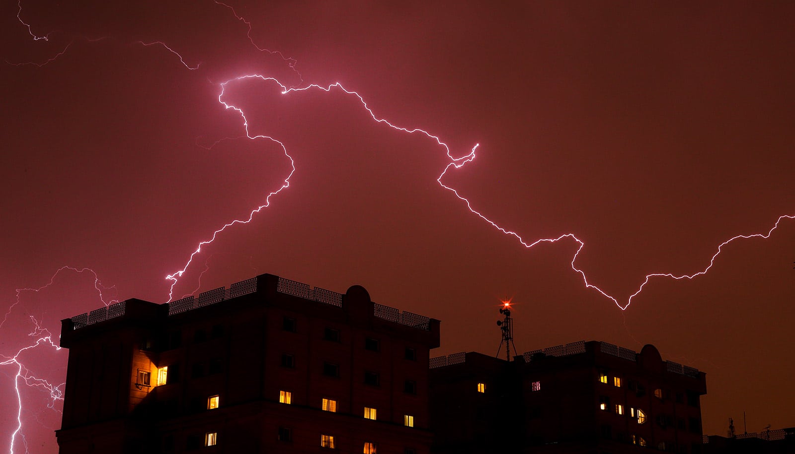
New research sheds light on one particular mechanism that has the potential to spawn powerful thunderstorms and cloud bursts.
When thunderstorms accumulate in clusters, these storms are often accompanied by violent cloud bursts and flooding, which can devastate the areas affected.
“We conclude that the atmosphere’s ability to generate large thunderstorms is influenced, among other things, by the difference between the temperature of the Earth’s surface during the night versus during the day. If the difference is great, we see more thunderstorms, and subsequently, more cloud bursts,” explains Jan Olaf Härter, an associate professor at the University of Copenhagen’s Niels Bohr Institute.
Along with his department colleagues, Härter used computer simulations to study the occurrence of so-called mesoscale convection systems—particularly powerful thunderstorms that spread out over areas of 100 kilometers (62 miles) or more. While these types of thunderstorms occur mainly in the tropics, they are also relevant in the Danish context.
“If summertime temperatures in Denmark continue to increase, I would not be surprised if we experience more thunderstorms and cloud bursts. And this is exactly what some climate models predict will occur within the next 20-30 years,” says Härter.
Thunder occurs when warm, moist surface level air rises into weather and meets cooler air higher up in the atmosphere. This destabilizes the air above it even more and creates convection, which transports the warm air even higher. It’s like a pot of boiling water—heated water at the bottom of a pot rises upwards and bubbles to the surface. The same occurs with thunderstorms.
“As warm air is shot up into the atmosphere, it meets with colder air and condenses, i.e., it forms clouds and raindrops. Consequently, thunderstorms are usually followed by dense rain and cloudbursts,” explains Silas Boye Nissen, a PhD student at the Niels Bohr Institute.
The researchers conclude that differences between the Earth’s surface temperature at night and day influences the risk of major thunderstorms and cloud bursts. When the temperature difference is large, the risk of severe thunderstorms increases. And while scientists can’t yet say for sure what affects the temperature differences, they propose a cautious hypothesis.
The difference between day- and nighttime surface temperatures is dependent upon the moisture content of soil. If soil is moist, temperature differences are reduced; “Like a swimming pool or a sea that moderates day- and nighttime temperatures,” explains Härter. If, on the other hand, soil is dry, high daytime temperatures will decrease significantly overnight, as there is not enough moisture in the soil to absorb the heat.
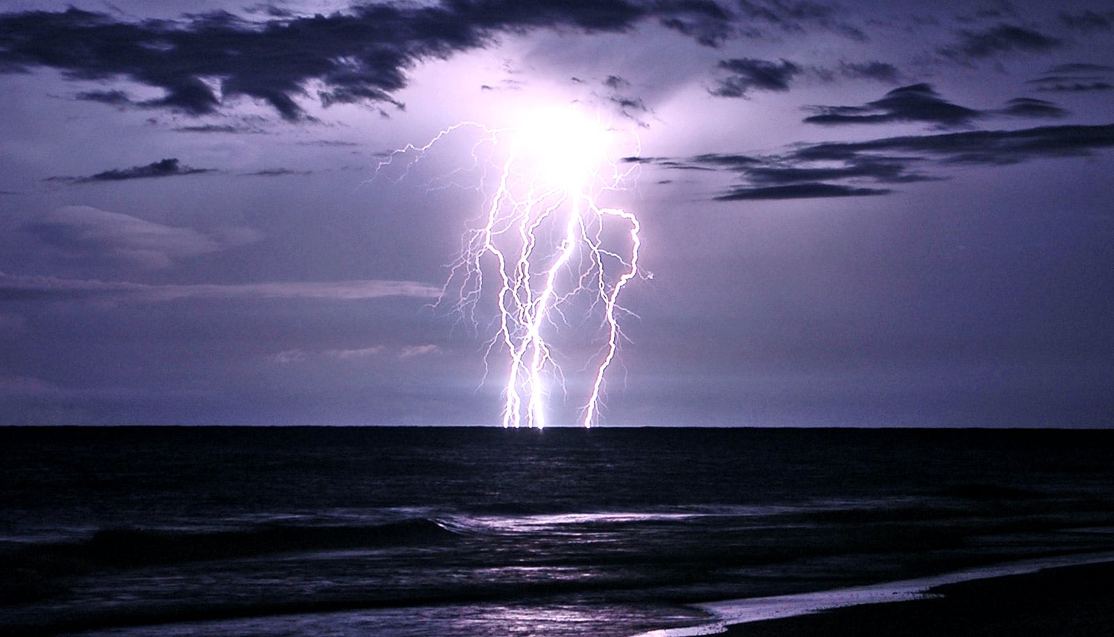
Danish thunderstorms typically cover areas of about 10 kilometers (6.2 miles), while tropical thunderstorms can spread over areas of 100 kilometers (about 62 miles) or more.
The reason why thunderstorms can be so powerful, in addition to large day and nighttime temperature variations at the Earth’s surface, also relates to a self-reinforcing mechanism.
“When differences in air temperature create clouds and intense rain, the rain uses up lots of energy on its way down as it slowly evaporates. As this occurs, each raindrop creates a pocket of cold air around it. As these pockets of cold air collide with other cold air pockets, of other weather systems, more clouds, rain and thunder are formed. This results in a self-reinforcing effect,” explains Nissen.
“Torrential rain from cloud bursts often causes damage to homes and jeopardizes people’s lives. As such, it is important to keep researching the causes of extreme weather phenomena,” Nissen says.
The study appears in npj Climate and Atmospheric Science.
Source: University of Copenhagen