Researchers have developed a new software tool that predicts the boundaries of where landslides will occur two weeks before they happen.
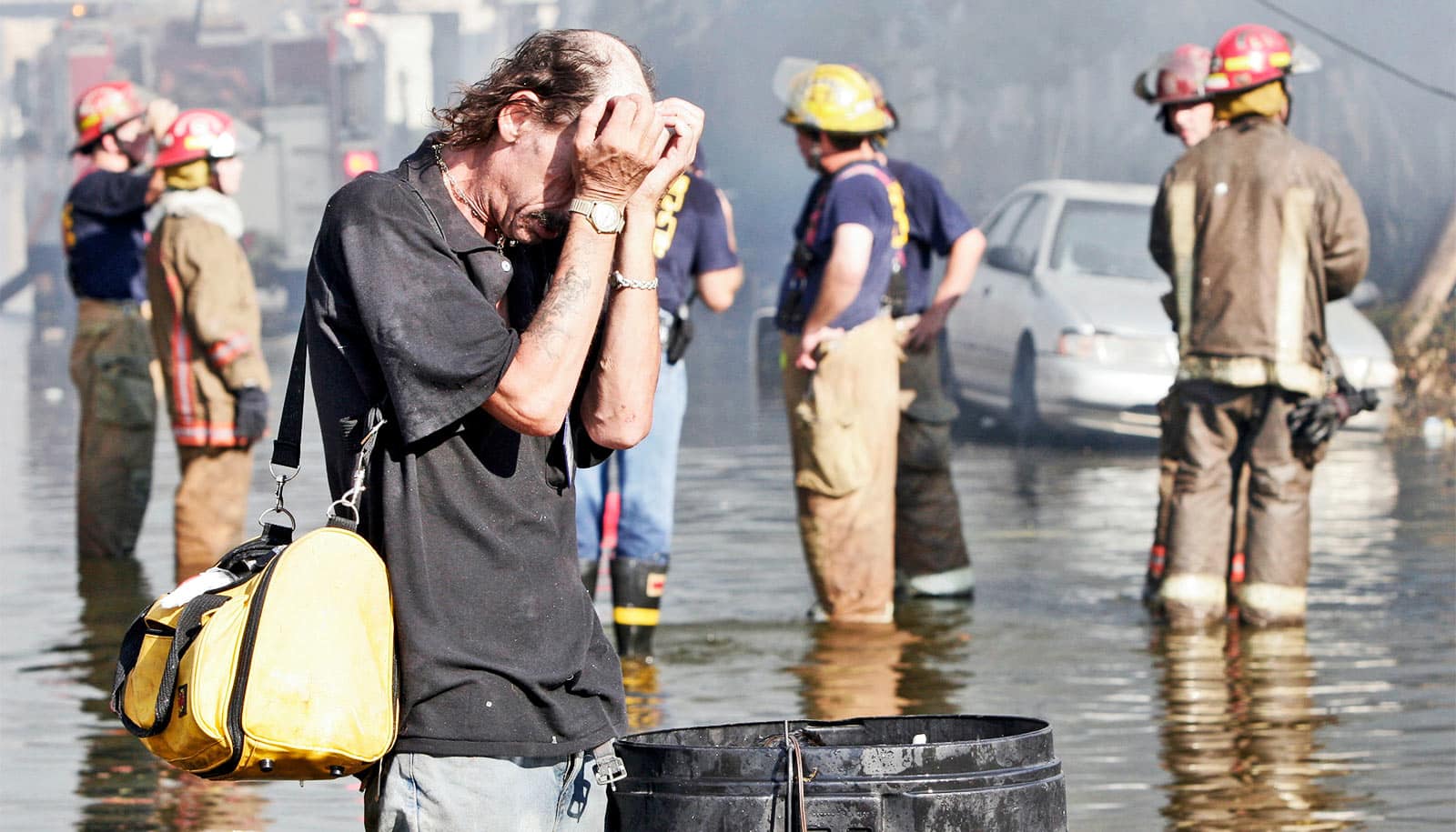
Landslides—masses of rock, earth, or debris moving down a slope—happen everywhere. The effect on communities, the economy, and most importantly, lives, can be devastating. A recent landslide at a jade mine in Myanmar, for example, claimed at least 27 lives.
In open pit mines, landslides are particularly common. In 2013 a 20 meter towering wall of dirt and rocks, deep enough to bury New York City’s Central Park, came crashing down when Bingham Canyon, one of the largest copper producing mines in the United States, gave way. Astonishingly no one was hurt, thanks to advance warnings.
Watching the news, you might think that all landslides happen in an instant, without reason or warning. But this isn’t always the case.
In reality, there are always indicators, but they are subtle and no one can accurately predict when and where a landslide will happen. And warnings tend to be issued only a matter of hours beforehand.
Earlier warnings
“We want as much lead time as possible to try and stop the landslide if we can, and otherwise to evacuate communities, remove equipment, and prepare for recovery,” says Robin Batterham, professor of engineering at the University of Melbourne and coauthor of the study, which appears in Mechanics Research Communications.
He and his fellow researchers developed a software tool that uses applied mathematics and big data analytics to predict the location of a landslide, almost two weeks in advance.
“We can now predict when a rubbish landfill might break in a developing country, when a building will crack or the foundation will move, when a dam could break or a mudslide occur. This software could really make a difference,” says Batterham.
Identifying subtle signs
Antoinette Tordesillas, professor of applied mathematics at Melbourne and lead author of the study, says there are always warning signs in the lead up to a collapse or “failure.” The tricky part is identifying what they are.
“We’re able to do things that were just unimaginable in a mathematical sense 30 years ago.”
“These warnings can be subtle. Identifying them requires fundamental knowledge of failure at the microstructure level—the movement of individual grains of earth,” she says.
“Of course, we cannot possibly see the movement of individual grains in a landslide or earthquake that stretches for kilometers, but if we can identify the properties that characterize failure in the small-scale, we can shed light on how failure evolves in time, no matter the size of the area we are observing.”
These early clues include patterns of motion that change over time and become synchronized, says Tordesillas.
“In the beginning, the movement is highly disordered. But as we get closer to the point of failure—the collapse of a sand castle, a crack in the pavement, or a slip in an open pit mine—motion becomes ordered as different locations suddenly move in similar ways.”
Hidden patterns
Currently, mining companies use radar technologies to produce data, every six minutes, on the surface movement of slopes at very high resolution—sub-millimeter precision. That’s a lot of data.
“We take this information and turn the numbers into a network that allows us to extract the hidden patterns on motion and how they are changing in space and time,” says Tordesillas.
With such high-density information, this is a challenging task.
“First, we need to decide which dots, that is locations on the surface of the mountain or mine, are moving. For each pair of dots, we ask whether their surface movements are similar. If so, the dots are linked. We do this for every pair of dots until we get a network.”
The stable locations will barely move, while unstable areas will move quite a lot.
“As we get closer and closer to failure, this pattern of division in movement is quite clear in the network,” says Tordesillas.
“The trick though is to detect the ordered motions in the network as early as possible, when differences in movements are very subtle.”
Tiny tremors might not warn of earthquakes to come
There’s an overwhelming amount of data available in risk monitoring platforms for natural hazards like landslides. Batterham says their new algorithm is all about turning these numbers into risk assessment and management actions that can save lives.
“People have gone somewhat overboard on so-called data analytics, machine learning, and so on,” he says.
“While we’ve been doing this sort of stuff for 40 years, this software harnesses the computer power and memory available to look not just at the surface movement, but extract the relevant data patterns.
“We’re able to do things that were just unimaginable in a mathematical sense 30 years ago.”
Source: University of Melbourne