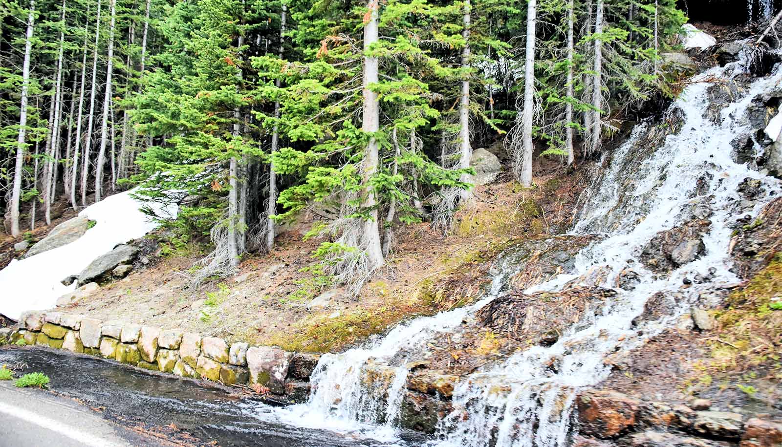
In some western states, the amount of snowfall already on the ground by the end of December is a good predictor of how much total snow that area will get, a new study shows.
Researchers who study water resources want to know how much snow an area will get in a season. The total snowpack gives scientists a better idea of how much water will be available for hydropower, irrigation, and drinking later in the year.
The newly discovered prediction works well in northern states such as Alaska, Oregon, and Washington, as well as in parts of Utah, Wyoming, and Colorado. Other states, such as California, Nevada, New Mexico, and Arizona, are harder to predict—these regions either had too much variation in their weather and/or got the most of their precipitation after December.
“The main thing water managers are asking for—aside from making it snow more, which is usually everyone’s first request—is longer lead-time forecasts,” says Jessica Lundquist, professor of civil and environmental engineering at the University of Washington and senior author of the study in Geophysical Research Letters.
“These are hard predictions to make. We’re fairly good at long-term average forecasts: what will happen 50 years from now. And we can do short-term forecasts: what will happen less than a week from now. But as for what’s going to happen in the next three to four months, that’s been kind of a no-go zone. It was really interesting to find that the amount of snow on the ground by the end of December ended up being a good predictor of peak spring snow.”
To look for trends, the researchers collected data from a network of snow sensors across the western US, including Alaska. The researchers analyzed air temperature and accumulated precipitation from 2001 to 2022 for 873 sites. Then they compared accumulated snow by the end of December (fall snow) to the maximum amount of snow accumulated over the entire winter-spring season (peak season snow).
There were a few different reasons for why fall snow levels predicted peak season snowpack levels. Some areas, such as Alaska, simply receive most of their snow before January. This means their early season snow is close to their peak season snow.
In other places, including interior Alaska, northeast Utah, and southwestern Wyoming, the weather patterns are such that above-average snowfall earlier in the season indicates above-average snowfall is also likely later in the season.
Cooler air temperatures also helped with predictability. In northern states—such as Alaska, Washington, and Oregon—or in places at higher elevation, snow on the ground in the fall was less likely to melt between storms because the air remained cool. That means this snow will stick around and add to the total snowpack.
“Another really interesting pattern happens in Oregon and Washington,” Lundquist says. “We get mixed rain and snow all along the west slope of the Cascades. This ‘wintry mix’ is so close to freezing that it could freeze or melt when it hits the ground. If you have above-average snowpack early in the year, then the wintry mix will stick to that snowpack and add to it. But if you have a below-average snowpack, that wintry mix is more likely to melt that snowpack and actually decrease it.”
When it comes to how climate change will affect which areas are predictable, the results are mixed, Lundquist says. Places that are farther north or at higher elevation are colder to start with, meaning they might not see much change.
But some weather patterns are shifting north. Areas where the prediction works now—such as northern Oregon—might go the way of California, having weather that’s too variable for any prediction.
It’s going to be important to continue tracking these trends, Lundquist says.
“These snow sensors are in long-term stations, so it’s easy to get the most recent data every year,” Lundquist says. “And then it’s just a simple analysis to predict which areas will likely have the largest snowpack. Though, as my family reminds me, it unfortunately does not let me predict powder days.”
Additional coauthors are from the National Oceanic and Atmospheric Administration, Ohio State University, and the University of Washington. NASA funded the work.
Source: University of Washington