Sea level in the Northeast and in some other US regions could rise significantly faster than the global average.
Moreover, in a worst-case scenario, global sea level could rise by about 8 feet by 2100, according to a new report which lays out six scenarios intended to assist with national and regional planning.
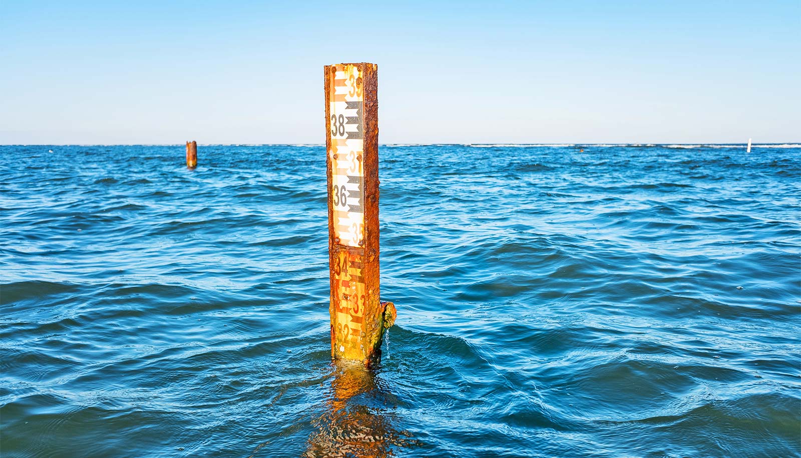
“Currently, about 6 million Americans live within about 6 feet of the sea level, and they are potentially vulnerable to permanent flooding in this century. Well before that happens, though, many areas are already starting to flood more frequently,” says Robert E. Kopp, an associate professor in the earth and planetary sciences department at Rutgers University. “Considering possible levels of sea-level rise and their consequences is crucial to risk management.”
The report provides regional sea-level rise scenarios and tools for coastal preparedness planning and risk management. It also reviews recent scientific literature on “worst-case” global average sea-level projections and on the potential for rapid ice melt in Greenland and Antarctica.
Midwest floods aren’t bigger, just more frequent
The findings support a “worst-case” global average sea-level rise of about 8.2 feet by 2100. Recent studies on Antarctic ice-sheet instability indicate that such rises may be more likely than once thought.
The report provides a range of possible scenarios, from at least 1 foot of global sea-level rise by 2100 to a worst-case rise that’s 1.6 feet higher than a scenario in a key 2012 study that the report updates. The report also provides four additional global average sea-level rise scenarios through 2100: intermediate-low (1.6 feet); intermediate (3.3 feet); intermediate-high (4.9 feet); and high (6.6 feet).
The scenarios were also tailored to produce regional projections in areas including the US Atlantic, Gulf of Mexico, and Pacific coasts, Alaska, Hawaii, the Caribbean, and Pacific island territories.
“The report’s detailed local scenarios represent a significant advance in the federal government’s response to requests by states and cities for more information tailored to their location,” Kopp says.
Key findings
- From Virginia through Maine and along the western Gulf of Mexico, sea-level rise is projected to be greater than the global average in nearly all global average sea level rise scenarios. For example, the sea in these regions would rise 1 to 1.6 feet higher than the global average rise of 3.3 feet under the intermediate scenario by 2100.
- Along almost all US coasts outside Alaska, sea-level rise is projected to be higher than the global average under the intermediate-high, high and extreme scenarios. For example, the sea level would be 1 to 3.3 feet higher than the global level under the high scenario.
- Along much of the Pacific Northwest and Alaska coasts, sea-level rise is projected to be less than the global average under the low-to-intermediate scenarios. For example, the rise would be 0.3 to 3.3 feet lower than global rise under the intermediate scenario.
Big floods
The report also focuses on the frequency of moderate-level flooding that triggers a NOAA coastal/lakeshore flood warning of a serious risk to life and property. In general, the water level that triggers a warning is about 2.6 feet above the highest average tide and has a 20 percent chance of arising each year.
NYC can expect more 9-foot floods
With less than 14 inches of sea-level rise, most of the 90 US coastal cities studied outside of Alaska would see a 25-fold increase in disruptive and damaging flooding by around 2080, 2060, 2040, or 2030 under the low, intermediate-low, intermediate and intermediate-high scenarios, respectively. That means a once-in-five-year flood would happen five times a year, on average.
“That’s a transition when flooding that used to be driven by storms becomes flooding driven by extreme high tides,” Kopp says. “Along the Jersey Shore, that transition would happen in the 2060s under the intermediate scenario and the 2030s under the intermediate-high scenario.”
Coauthors of the report are from Columbia University, NOAA, the US Environmental Protection Agency, the South Florida Water Management District, and the US Geological Survey.
Source: Rutgers University