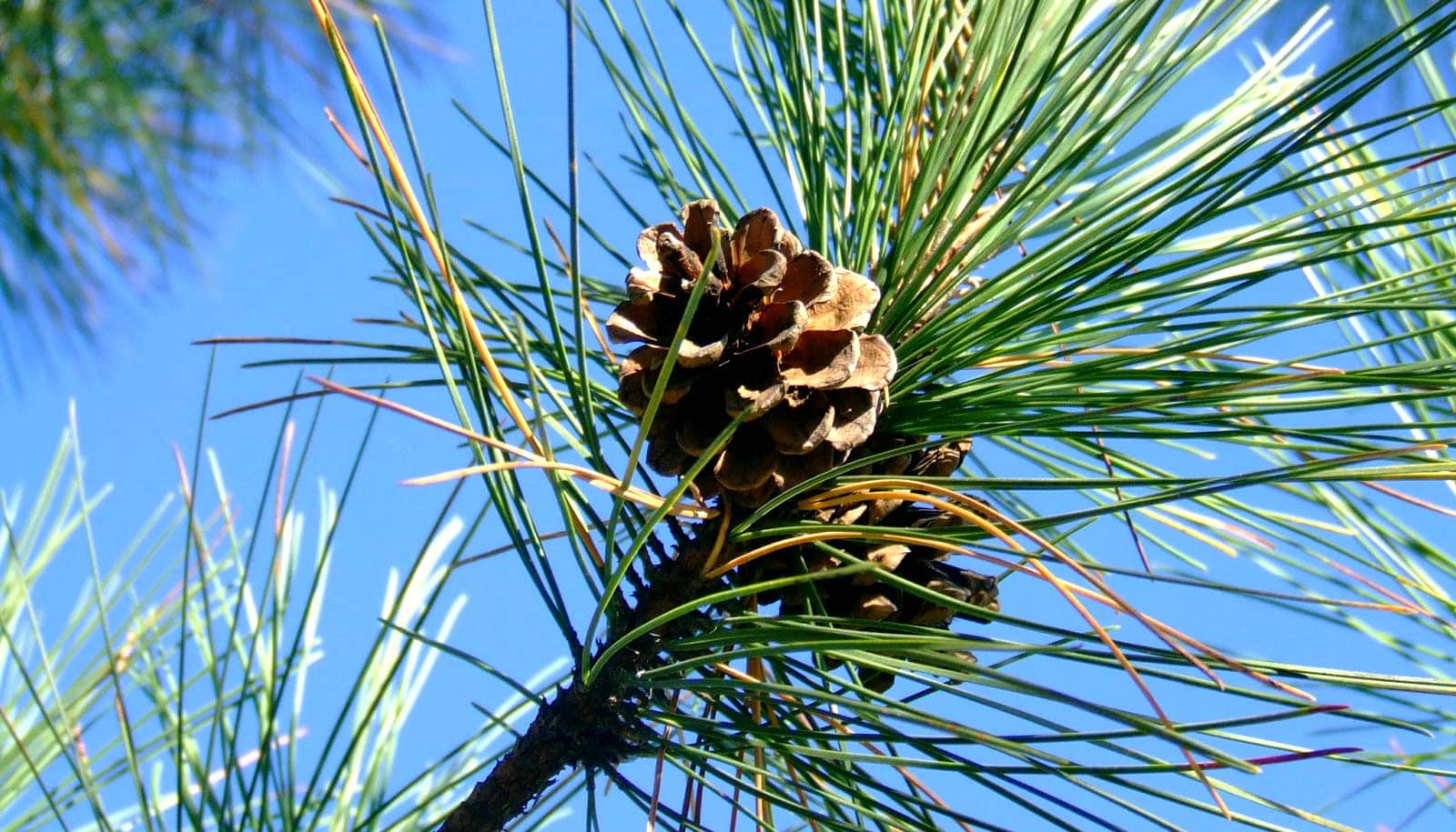
The humble pine tree and its needles have proven to be a handy tool for monitoring the proliferation of per- and polyfluoroalkyl substances in North Carolina over time, according to a new study.
Researchers used historical and current pine needle samples to trace the presence and concentrations of over 70 different types of per- and polyfluoroalkyl substances (PFAS) in six North Carolina counties from 1961 to the present. The findings are a snapshot of the evolution of PFAS in the state over a 50-year period.
Why pine needles?
“They’re everywhere in the state and free, so it’s very easy to sample numerous locations and time points without having to build and retrieve expensive sampling equipment,” says Erin Baker, associate professor of chemistry at North Carolina State University and co-corresponding author of the study in Environmental Science & Technology.
As for the needles themselves, the waxy coating that protects them from the elements also acts as an efficient trap for airborne contaminants such as PFAS. And since pine trees drop their needles on an annual schedule, researchers can be certain about the points in time they’re looking at when they take samples.
Researchers obtained 60 pine needle samples from sites in Durham, Wayne, Cumberland, Robeson, Onslow, and Brunswick counties.
For historical comparison, they used 15 pine needle samples from the NC State and Duke University herbaria, looking specifically at samples from those same counties dated from 1961 to the present.
“We were focused primarily on locations we have modern data for, as well as locations that are associated with PFAS, like airports, firefighter training sites, and chemical plants like the Chemours facility,” says Scott Belcher, an associate professor of biology and co-corresponding author of the research. “We took samples at those sites and at sites three to 11 miles away for comparison.”
To analyze the samples, the researchers performed liquid chromatography, mass spectrometry, ion mobility spectrometry, and fragmentation studies on each one. This multi-dimensional approach ensured accuracy when distinguishing between molecular structures of the different chemicals.
The results are a snapshot history of a half century of PFAS in central and eastern North Carolina.
“We were able to see when the new, shorter chain chemicals were introduced, when old ones were phased out, and where specific PFAS were being used—we could trace actual, real-time changes in contamination,” says Kaylie Kirkwood, PhD candidate and lead author of the study.
“And we were able to see the exposure gradients for these chemicals—how the concentrations fell off from high levels at the source of the contamination versus lower levels farther away.”
The researchers hope that this work will pave the way for other researchers to use passive sampling to monitor the spatial and temporal distribution of PFAS.
“This is way bigger than North Carolina—it’s applicable to sites all over the world,” Baker says. “Beyond NC and beyond pine needles, this shows the capability of plants with waxy coatings to serve as sentinels of environmental contamination.”
The National Institutes of Health and the US Environmental Protection Agency supported the work.
Source: NC State