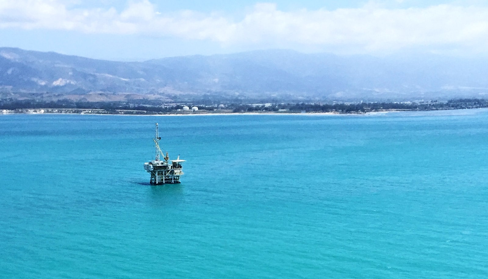
Severe droughts have happened simultaneously in the regions that supply water to Southern California almost six times per century on average since 1500, according to new research.
The study is the first to document the duration and frequency of simultaneous droughts in Southern California’s main water sources—the Sacramento River basin, the Upper Colorado River Basin, and local Southern California basins.
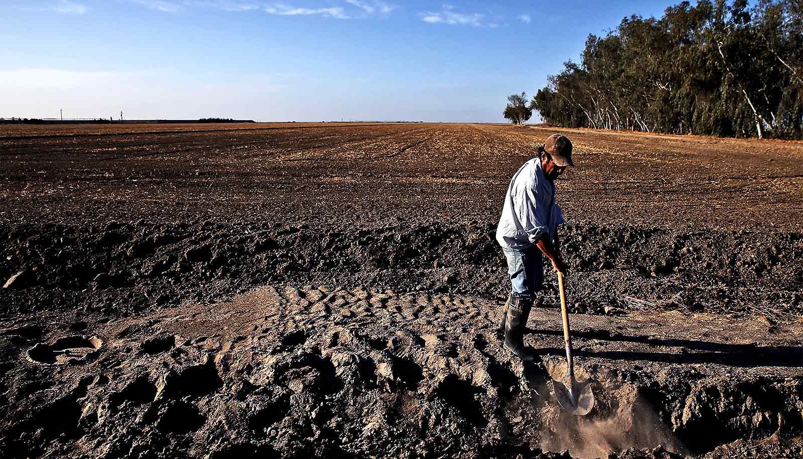
The report highlights what a previous researcher dubbed “perfect droughts”—when precipitation or streamflow in all three water sources falls below the median for two or more years. The most recent perfect drought lasted from 2012 to 2015.
Concurrent droughts lasting multiple years in all three sources of water for Southern California pose “the most serious challenge to water management,” the authors write in the Journal of American Water Resources Association.

Researchers used the annual growth rings of trees to reconstruct the climate history of the three water sources back to the year 1126. For the period 1906 to 2017, instruments recorded the amount of annual precipitation and streamflow.
“Such a reconstruction of the water supply for Southern California has not been done before,” says first author Connie Woodhouse, a professor in the School of Geography and Development at the University of Arizona.
5-6 perfect droughts every 100 years
The California Department of Water Resources (CADWR) wanted to know the past frequency and duration of severe droughts in the major sources of Southern California’s water supply and funded the study.
The team found perfect droughts were not unusual and were evenly distributed in time since about 1400, with about five to six such droughts per 100 years, Woodhouse says. More severe and longer-term droughts occurred during the warmer 11th and 12th centuries.
“California Department of Water Resources has a long history as a water resources department of using paleodata to help its understanding of drought,” says coauthor David Meko, a research professor of dendrochronology in the Laboratory of Tree-Ring Research.
The researchers also tested whether specific oceanic or atmospheric circulation patterns could be linked to the occurrence of perfect droughts. The only pattern they found was that perfect droughts coincided with high pressure off the northwest Pacific Coast that pushes storm tracks north of all three sources of water.
Woodhouse and Meko previously studied droughts in the Sacramento River Basin and the Colorado River Basin for CADWR using tree rings to reconstruct streamflow patterns back to the 10th century or earlier. The agency asked the team to expand on previous studies to include water sources in Southern California.
Tree ring records
Each annual growth ring of a tree reflects the growing conditions, including temperature and precipitation, during that year. By taking either pencil-thin cores from living trees or cross-sections of dead trees, scientists piece together the patterns of annual rings to reveal growing conditions going back centuries. The climate information in tree rings also reflects variations in streamflow, making it possible to develop reconstructions of past streamflow.
Groundwater is one of the water sources for Southern California. There are not enough historical instrumental records of groundwater records to develop a reconstruction going back centuries, so the team used precipitation as a proxy for groundwater.
To determine past precipitation for Southern California going back 890 years, Erica Bigio, a member of the research team while at the University of Arizona and now a lecturer at the University of Nevada, Reno, led the team in collecting additional tree-ring records from mountain ranges including the San Bernardino, San Gabriel, and San Jacinto mountains.
The team also checked whether perfect droughts coincided with specific atmospheric or oceanic conditions, which was a new approach, Meko says.
“The California Department of Water Resources wanted this long-term information to help with planning,” he says. “The broader question is what causes these simultaneous droughts in these different basins.”
The researchers found that no one atmospheric or oceanic circulation pattern, such as El Niño, corresponded with severe droughts in all three basins.
The team did find that perfect droughts occurred in Southern California when the storm tracks shifted north. Several different atmospheric circulation patterns can cause that shift.
Longer and more severe droughts in all three basins occurred in the 11th and 12th centuries, a time period when the climate was warmer, Woodhouse says. “We had a nine-year perfect drought and a seven-year perfect drought—and they were pretty much West-wide.”
Given the projected changes in water availability due to warming, “perfect droughts such as 2012-2015 may become increasingly common, with the potential for even longer events to occur,” the researchers conclude.
Source: University of Arizona