Researchers have created maps to benefit migrating herds of wildlife, specifically ungulates.
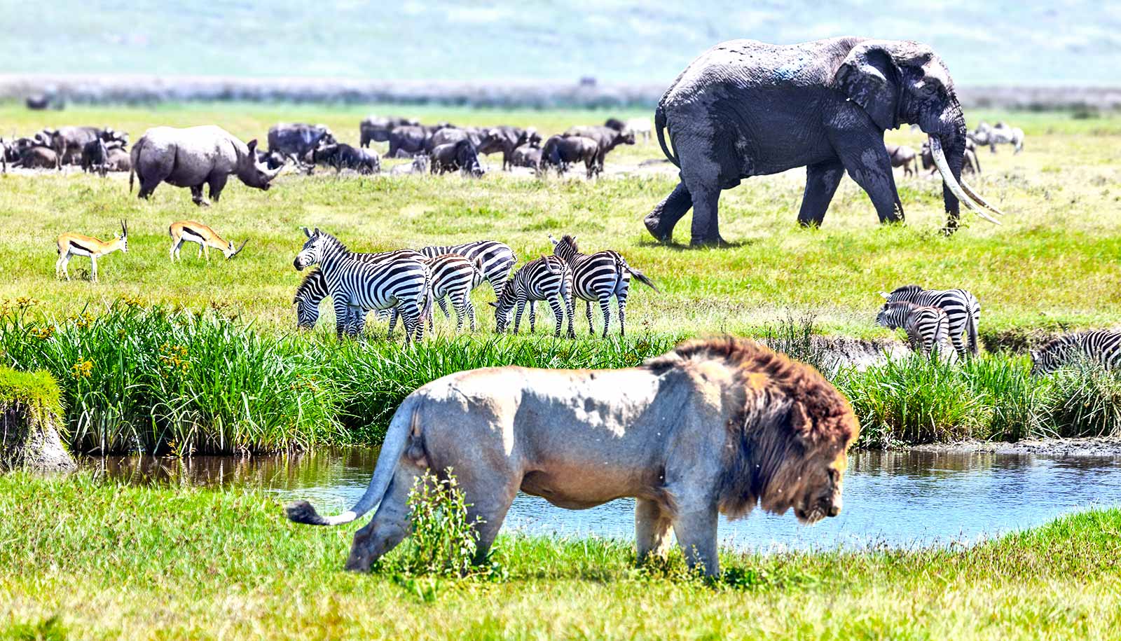
From the plains of Serengeti to the mountains of Wyoming, wildlife herds are facing threats to critical migration routes. The maps, from the University of Oregon’s InfoGraphics Lab, could help these mammals on the move.
Jim Meacham and Alethea Steingisser are working with researchers led by Wyoming biologist Matthew Kauffman to launch a global initiative that will leverage maps in conservation efforts around the world. The paper appears in the journal Science.
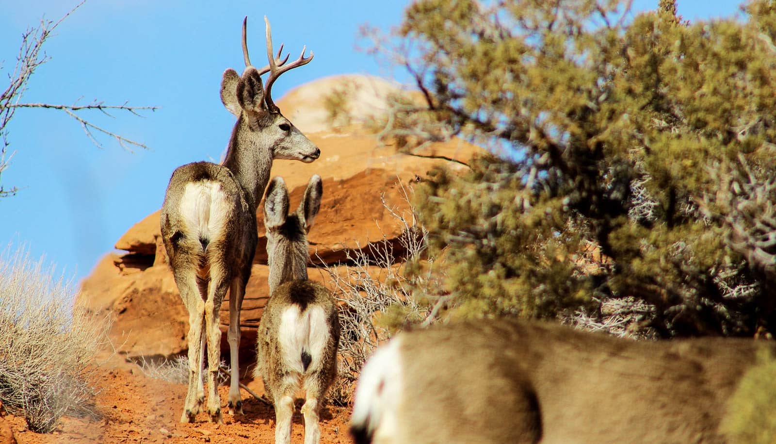
The initiative is focused on the migrations of ungulates, hooved mammals like caribou, mule deer, wildebeest, elephants, and zebra. Such animals all rely on seasonal migrations to maintain healthy herds and to contribute to the ecological health of each region.
“Ungulate migration is a fundamental ecological process that is critical to herds, whose effects cascade up and down terrestrial food webs,” Kauffman explains in the paper. “But ungulate migrations are disappearing at an alarming rate.”
Ungulates are running into barriers from a variety of sources along their migration routes, almost all linked by a common thread: how humans are changing the natural landscape. Some of the hurdles include oil and gas leasing, highways, housing developments, and the impacts of climate change.
Thanks to advances in tracking and collaring technology, researchers are able to collect precise data that show where exactly ungulates are wandering around the world and what issues they’re bumping into during their journeys. Cartography groups like the University of Oregon’s InfoGraphics Lab can then work closely with wildlife scientists to use that spatial data to create compelling maps that show the routes of the animals and the threats they face along the way.
“Cartographers can help elevate the work that these researchers are doing and make that research more accessible,” Meacham says. “These maps offer a compelling visual story about how these migration routes are threatened and can help build a case to protect these corridors.”
Kauffman, Meacham, and Steingisser are confident the model could be key to conservation efforts for migratory animals because they’ve seen it succeed already. The group collaborated on a project through the Wyoming Migration Initiative where they conducted a migration assessment of mule deer in Wyoming.
The InfoGraphics Lab team used spatial data from Kauffman’s collaring efforts to map out the 300-mile route that the deer travel. It highlights all the barriers from start to finish, including road crossings, tight bottlenecks, and oil and gas leases.
The mapping effort created a persuasive blueprint of science-based conservation solutions that conservation groups and government agencies adopted to protect the mule deer and their migration path from the Red Desert to the Hoback Mountains.
“These conservation solutions became possible because we had a good map of the migration corridor,” Kauffman says. “The map really helps tell the story of what these herds have to navigate through their migration. And we’ve realized that some of the approaches that have been successful in Wyoming are likely applicable to ungulate migrations around the world.”
The new global initiative will use tracking data and analysis to produce detailed maps for migration paths and conservation threats around the world. The team already has begun work on its goal to create a digital atlas of maps that can guide international conservation efforts.
The work is taking place in partnership with the United Nations Convention on the Conservation of Migratory Species of Wild Animals, through a treaty to conserve migratory animals.
“The science-based solutions to conserving migrations around the world will all be different, but they can all benefit from great maps,” Kauffman says.
Source: University of Oregon