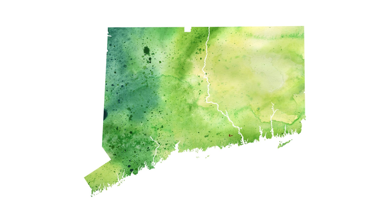
A new forecast says this summer’s Gulf of Mexico “dead zone”—an area of low to no oxygen that can kill fish and other marine life—will be approximately 5,780 square miles, about the size of Connecticut.
The 2018 forecast is similar to the 33-year average Gulf of Mexico dead zone of 5,460 square miles and is smaller than last year’s 8,776-square-mile dead zone, which was the largest measured since mapping began in 1985. The National Oceanic and Atmospheric Administration, which funds the work, released the report.
Though the forecast calls for an average-size Gulf of Mexico dead zone, it remains three times larger than the long-term target set by the Interagency Mississippi River and Gulf of Mexico Hypoxia Task Force, a group that aims to reduce the size of the dead zone.
“The bottom line is that we will never reach the long-term target until more serious actions are taken to reduce the loss of Midwest fertilizers into the Mississippi River system,” says aquatic ecologist Don Scavia, professor emeritus of environment and sustainability at the University of Michigan.
Scavia is a member of the teams that produce annual forecasts for the Gulf of Mexico, the Chesapeake Bay, and Lake Erie. The Gulf of Mexico hypoxic area forecasts have been generated each spring since 2002 and are compared to the measured size of the annual dead zone in late summer.
Low oxygen
The Gulf’s hypoxic zone results from excess nutrient pollution, primarily from human activities in the watershed, such as urbanization and agriculture. The excess nutrients stimulate an overgrowth of algae, which then sinks and decomposes in the water. The resulting low oxygen levels near the bottom are insufficient to support most marine life.
Studies have shown a multitude of other impacts within watersheds where nutrient concentrations are high, including high nitrates in groundwater, higher drinking and wastewater treatment costs, and wasted fertilizer applications.
“The gulf’s recurring summer hypoxic zone continues to put important habitats and valuable fisheries at risk,” says Steve Thur, director of NOAA’s National Centers for Coastal Ocean Science. “Although there has been some progress in reducing nutrients, the overall levels remain high and continue to strain the region’s coastal economies.”
Nitrate and phosphorus
NOAA issues a dead zone forecast each year and refines the models used by the Hypoxia Task Force to set nutrient-reduction targets and to better understand the link between hypoxia and nutrients. The forecast is based on nitrogen runoff and river discharge data from the US Geological Survey. The forecast assumes typical weather conditions, as hurricanes and tropical storms could disturb the dead zone.
Higher river discharge in May carries a larger nutrient load into the Gulf of Mexico, one factor that contributes to a larger hypoxic zone. This past May, discharge in the Mississippi and Atchafalaya rivers was about 4 percent above the long-term average (between 1980 and 2017).
The USGS estimates that this near-average river discharge carried 115,000 metric tons of nitrate and 18,500 metric tons of phosphorus into the Gulf of Mexico in May. These nitrate loads were about 13 percent below the long-term average, and the phosphorus loads were about 10 percent above the long-term average.
The USGS operates more than 3,000 real-time stream gauges, 60 real-time nitrate sensors, and 35 long-term monitoring sites throughout the Mississippi-Atchafalaya watershed, which drains parts or all of 31 states.
“While recent trend results show nutrient loads decreasing in some areas of the Mississippi-Atchafalaya watershed, on balance there has been little change in loading to the gulf in recent decades,” says Don Cline, associate director for the USGS Water Mission Area.
Can grass revive dead zone in Gulf of Mexico?
This is the first year NOAA is conducting the forecast independently. It is the culmination of a multi-year academic-federal partnership to develop a suite of NOAA-supported hypoxia forecast models. The partnership included teams of researchers at the University of Michigan, Louisiana State University, Virginia Institute of Marine Sciences/College of William and Mary, North Carolina State University and USGS. Some of these groups are also developing independent forecasts, released in coordination with NOAA and using the USGS data.
The University of Michigan model, a contribution to the NOAA ensemble forecast for the Gulf of Mexico, has performed well, Scavia adds. Except for two years when tropical storms impeded measurement of the hypoxic area (2003 and 2009), the university’s forecasts have been accurate 70 percent of the time, he says.
A NOAA-supported monitoring survey will confirm the size of the 2018 Gulf of Mexico dead zone in early August.
Source: University of Michigan