A new portable tool uses lasers to measure the composition of glacier ice.
That data can help determine how fast that ice is melting.
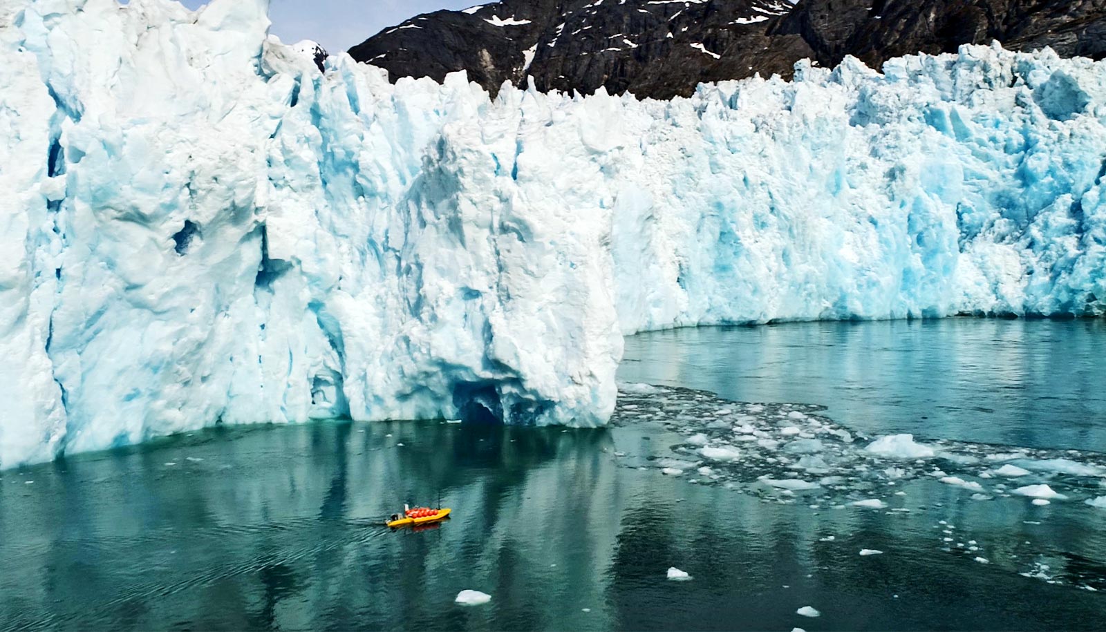
The instrument can be used to study glaciers in remote wilderness areas, like those in Oregon’s Cascade Mountains. And it can help verify satellite data collected about bigger glaciers, like those in Greenland and Antarctica.
Oregon’s glaciers feed mountain streams and buffer against drought in the late summer once the annual snowpack has melted. Their cold melt water is important salmon and trout habitat. But the glaciers are now shrinking rapidly, one more casualty of global climate change.
“Studying how these glaciers respond to climate change is important for informing streamflow management both now and in the future,” says Johnny Ryan, a geographer at the University of Oregon who is using the new instrument in his research.
“Many of the processes that we observe on Oregon glaciers also occur on the Greenland and Antarctic ice sheets. Oregon’s glaciers provide a great testing ground for new instrumentation and hypotheses.”
Oregon’s glaciers sit high on mountain slopes, in designated wilderness areas where motorized vehicles are prohibited. Scientists can’t trek in heavy equipment via helicopter and snowmobile, as they otherwise often do to collect samples of ice to analyze. The new tool is a way to gather data in wilderness areas, says Markus Allgaier, a postdoctoral physicist at the University of Oregon who led the design of the tool.
Allgaier’s instrument works by measuring the way light scatters back from glacial ice. The device shoots a laser beam into the ice. Photons, tiny particles of light, bounce back when they hit air bubbles in the ice. By measuring how long it takes photons hitting the ice to reach a detector positioned a few feet away, scientists can estimate the composition of the ice.
And that, in turn, can provide insight into how much sunlight the glacier is absorbing versus reflecting. That data can be used to estimate how fast the ice is melting.
Allgaier usually builds devices that are used in a lab. If something malfunctions, he can adapt on the spot. Designing something that would be used in remote environments was a new challenge, he says.
“With field research, it has to work,” Allgaier says. “You may not get another chance to come back and try again.”
He and his colleagues had to wait for the perfect weather window to test the instrument in the mountains: late enough in the summer that the snow had melted off the surface of the glacier to expose bare ice but before new snow started falling. So first, they did lots of testing both in the lab and around town, finessing the instrument.
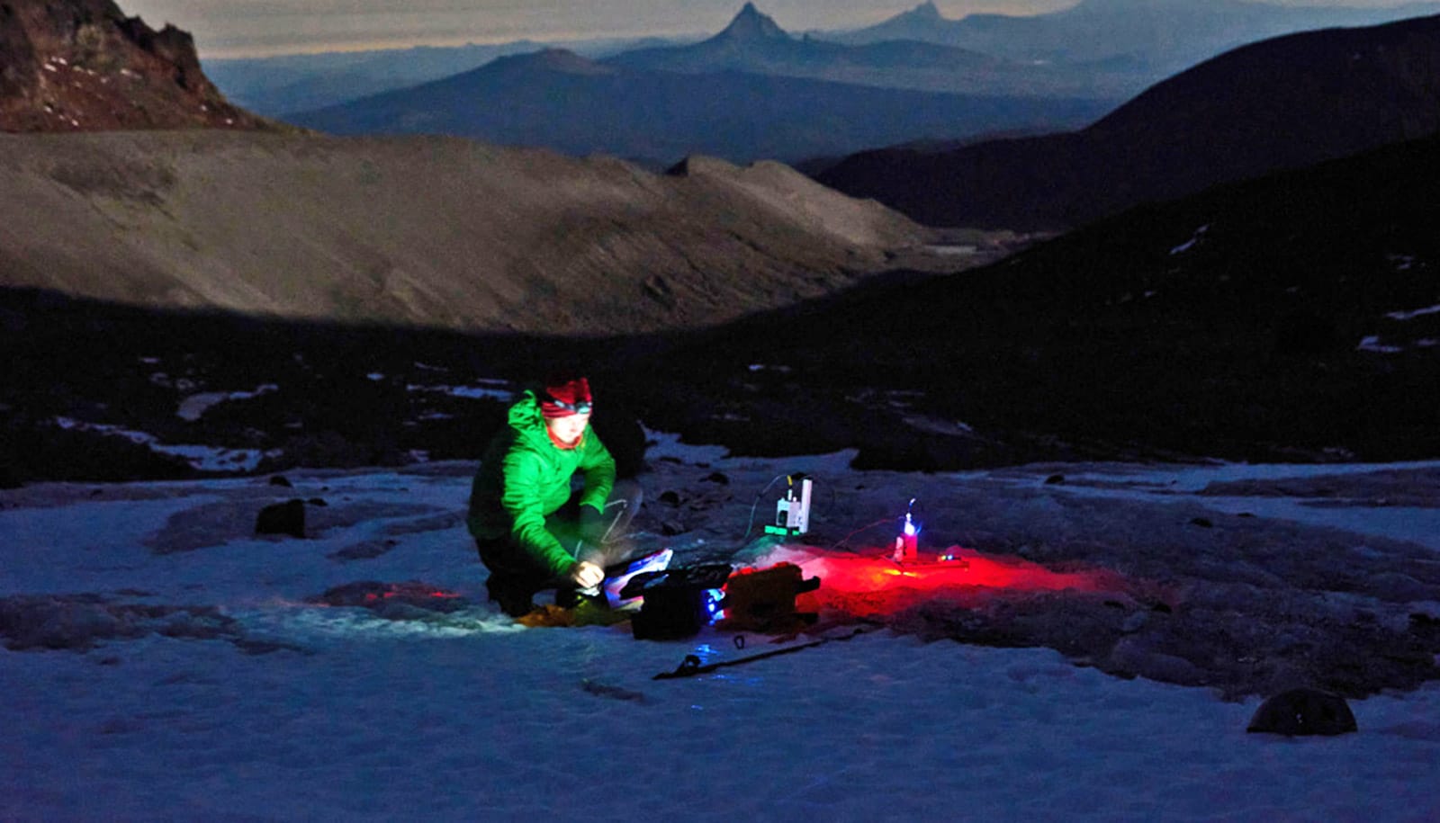
When conditions were right, Allgaier and his colleagues lugged the device to Crook Glacier on Broken Top, about a 3-mile hike in. The main device itself fits into a hard-shell plastic carrying case the size of a small briefcase. All the gear necessary to make it run, like batteries and extra cables, can be trekked up by a couple of people with backpacks.
They set up near the edge of the glacier during the day. Ambient light disrupts the data collection, so they waited till the sun set to turn on the lasers and carefully start making measurements on the chilly ice.
On a second, longer trip, they trekked to North Sister’s Collier Glacier, which has been studied by University of Oregon researchers for almost 100 years. It’s named after George H. Collier, a former professor of physics and chemistry and one of the university’s first faculty members.
“We’re hoping to take the instrument to Alaska and use what we’ve learned to do ground truthing of satellite data,” Allgaier says, meaning it would make sure the data collected about glaciers from satellites squares with what’s recorded on the ground.
Ryan and geographer Sarah Cooley work with data from the NASA satellite ICESat-2, which measures elevation changes of ice sheets and sea ice.
“There are some uncertainties about how much the laser penetrates in snow and ice,” Ryan says. “We can use our ground-based instrument to measure the penetration depth of green laser in snow and ice and see how it varies across space and time.”
That will allow them to correct inaccuracies in this satellite data, ultimately improving the climate and environment predictions that are based on it.
The research is published in the Journal of Glaciology.
The team used funding from the Office of the Vice President for Research and Innovation’s Renee James Seed Grant Initiative to develop the prototype device.
Source: Laurel Hamers for University of Oregon