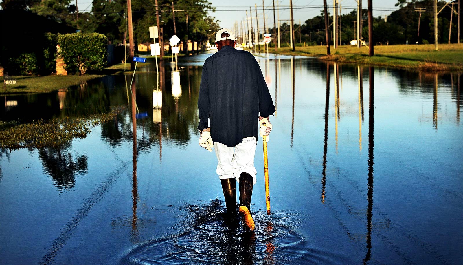
The proportion of the population exposed to floods has grown by 24% globally since the turn of the century, find researchers.
That’s 10 times more than scientists previously thought, and it’s due to both increased flooding and population migration. This marks an increase of the population inside flood-prone regions to as many as 86 million people.
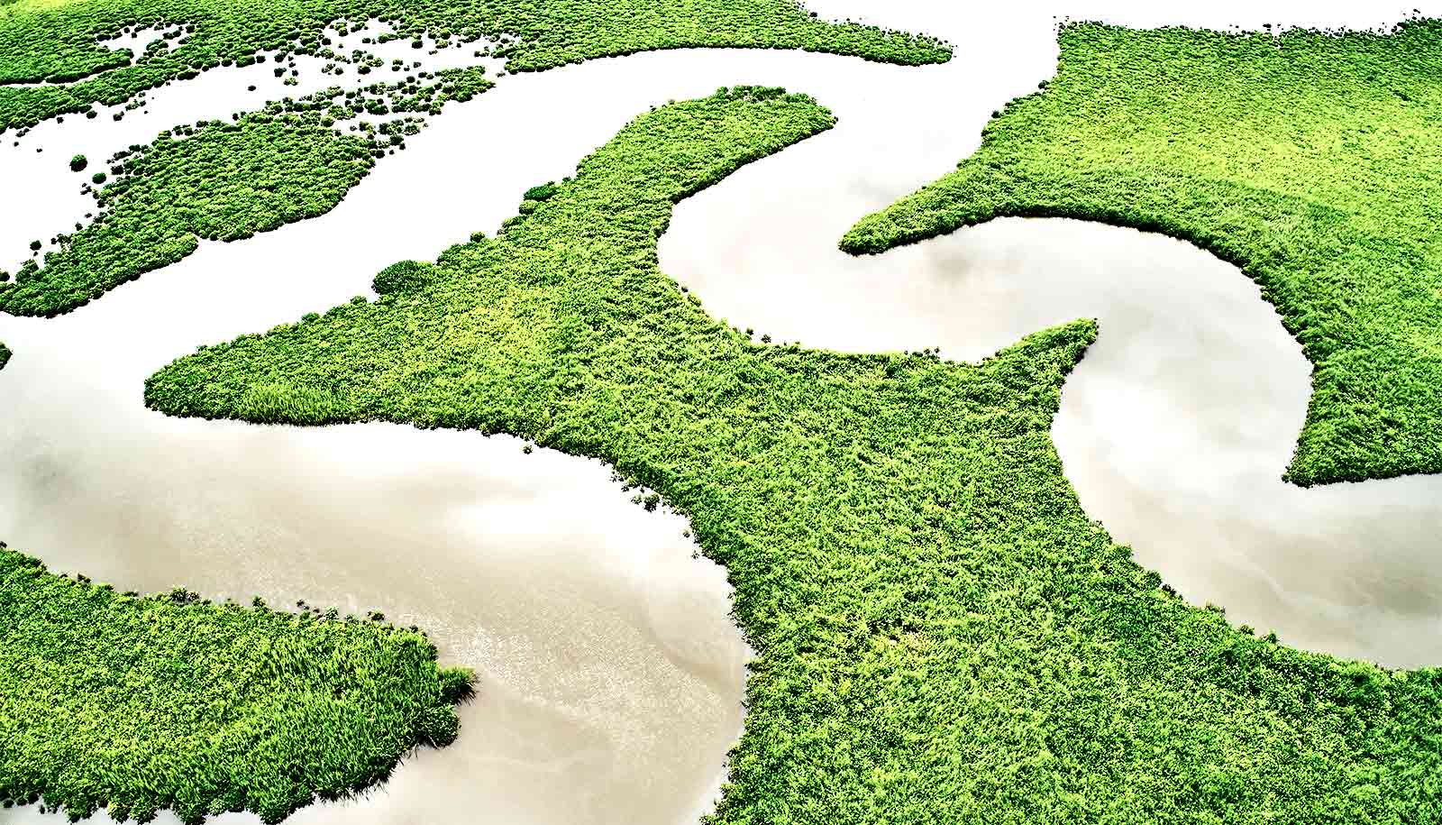
The study in Nature used direct satellite observations of floods, rather than the standard modeled estimates.
“Using satellite observation data of floods with improved spatial-temporal resolution will help policymakers understand where flood impacts are changing and how best to adapt,” says study leader Elizabeth Tellman, assistant professor in the University of Arizona’s School of Geography, Development, and Environment in the College of Social and Behavioral Sciences.
Tellman conducts research on the causes and consequences of global environment change on vulnerable populations and is also the chief science officer and co-founder of Cloud to Street, a global flood tracking and risk analytics platform for disaster managers and insurers.
Cloud to Street hosts the Global Flood Database, the database behind the Nature paper and the largest and most accurate dataset of observed floods ever produced, providing a new view into the true scope of flooding. Powered by twice-daily, global satellite imaging, the Global Flood Database has mapped and analyzed 913 flood events in 169 countries since 2000.
Flood maps and satellite observations
Most flood maps, including those used by the Federal Emergency Management Agency (FEMA), rely on modeling that simulates floods based on available ground data, such as elevation, rainfall, and ground sensors. These models are time intensive and can have substantial limitations, entirely missing flooding incidents in regions not historically prone to flooding, Tellman says.
The Global Flood Database instead relies on satellite observations of actual flooding over the past two decades. This allows for additional analyses of the scope, impact, and trends of recent flooding.
“The Global Flood Database can improve the accuracy of global and local flood models and vulnerability assessments, increase the efficacy of adaptation measures, and deepen our understanding of how climate, land cover change, and floods interact,” Tellman says.
Heavy rainfall caused most flood events in the database. The other top causes were tropical storms or surges, snow or ice melt, and dam breaks, illustrating the increasingly deadly cost of failing infrastructure.
Vulnerable people in high water
Other key findings include:
- Between 58 million and 86 million people moved into observed flood regions between 2000 and 2015, marking a 20 to 24% increase in the proportion of the population exposed to floods.
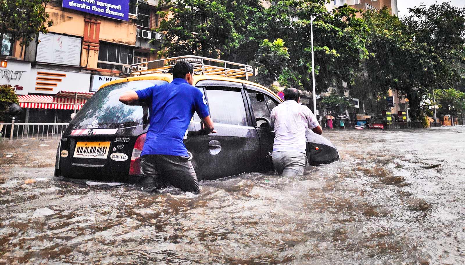
- Worldwide, 2.23 million square kilometers, or about 861,000 square miles, were flooded at some point between 2000 and 2018, affecting between 255 million and 290 million people.
- By 2030, climate and demographic change will add 25 new countries to the 32 already experiencing increasing floods, the researchers estimate.
- Despite causing less than 2% of floods, dam breaks had the highest increased incidence (177%) in proportion of population exposed.
- Population growth in flooded areas is driven by people moving into flood-prone areas, and economic development in those regions.
- Nearly 90% of flood events occurred in South and Southeast Asia.
- The satellite data uncovered previously unidentified increases in flood exposure in Southern Asia, Southern Latin America, and the Middle East.
“We found that economic development and people moving into flood-prone areas is significantly increasing the number of people exposed to floods in those regions,” Sullivan says. “Furthermore, increasing flood exposure is rooted in underlying conditions that give vulnerable populations no choice but to settle in flood zones.”
Bessie Schwarz, CEO and co-founder of Cloud to Street, says the data available in the Global Flood Database can lead to actionable lessons for policy makers and get payments to flood survivors faster.
“In the aftermath of a major flooding event, the greatest determinant of a community’s recovery time and future resilience is how soon they access capital,” Schwarz says. “More people and more assets are impacted by flooding than any other climate-fueled disaster, which in turn keeps poor countries poor and drives up the price of food and housing everywhere.”
Additional coauthors of the Nature paper are from NASA, Google Earth Outreach, Columbia University, the University of Michigan, the University of Colorado, the University of Texas at Austin, and the University of Washington.
Funding for the research came from Google as a Google Earth Engine research award and NASA, Integrating Global Remote Sensing and Modeling Systems for Local Flood Prediction and Impact Assessment.
Source: University of Arizona