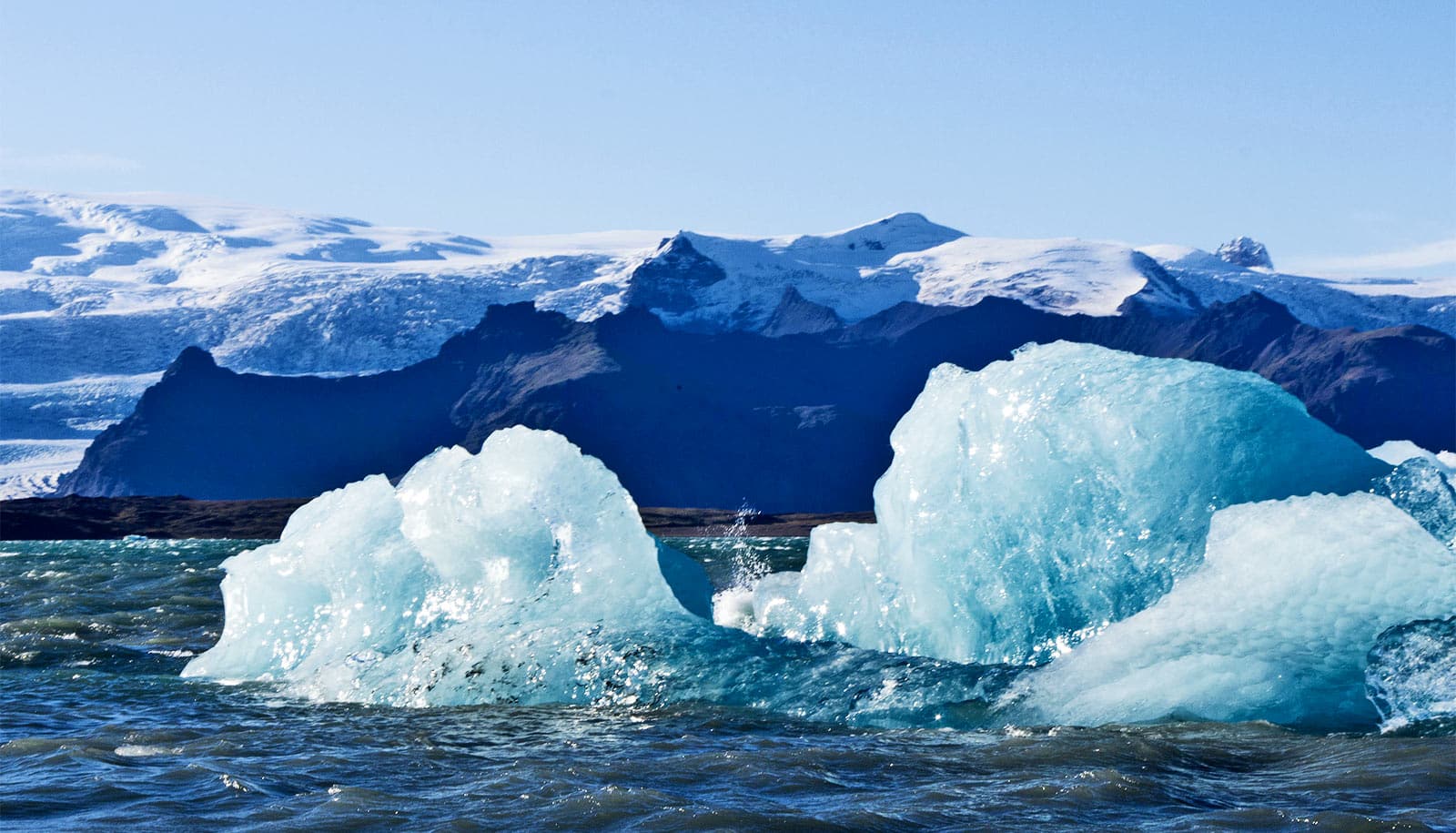
The Earth’s cryosphere is shrinking by 33,000 square miles (87,000 square kilometers) per year.
This means that all of the areas with frozen water and soil on Earth shrank by about the size of Lake Superior per year on average, between 1979 and 2016, as a result of climate change.
The findings come from the first global assessment of the extent of snow, ice cover, and frozen ground on Earth’s surface, a critical factor in cooling the planet through reflected sunlight, and its response to increasing temperatures.
“Despite frequent reports of a ‘shrinking’ cryosphere, previous estimates only focused on individual variables, like sea ice area or snow cover extent,” says Oliver Frauenfeld, an associate professor and climatologist in Texas A&M University’s geography department.
“No one had attempted to come up with a global estimate of the cryosphere as a whole, and quantify the magnitude of its decrease. Our record of cryospheric extent can serve as a useful climate change indicator, similar to other vital signs like global temperature or sea level.”
The extent of land covered by frozen water is just as important as its mass because the bright white surface reflects sunlight so effectively, cooling the planet. Changes in the size or location of ice and snow can alter air temperatures, change the sea level, and even affect ocean currents worldwide.
“The cryosphere is one of the most sensitive climate indicators and the first one to demonstrate a changing world,” says Xiaoqing Peng, a physical geographer at Lanzhou University and first author of the paper in Earth’s Future. “Its change in size represents a major global change, rather than a regional or local issue.”
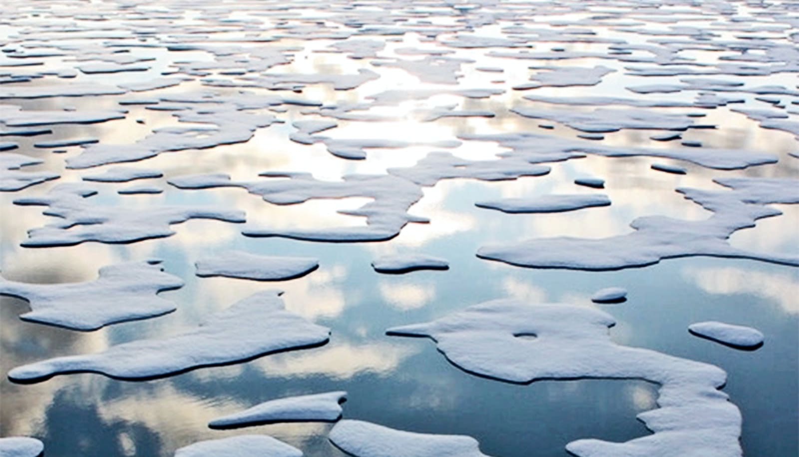
More than seasonal shrinking
The cryosphere holds almost three-quarters of Earth’s fresh water, and in some mountainous regions, dwindling glaciers threaten drinking water supplies. Many scientists have documented shrinking ice sheets, dwindling snow cover, and loss of Arctic sea ice individually due to climate change. But no previous study has considered the entire extent of the cryosphere over Earth’s surface and its response to warming temperatures.
Peng and his coauthors from Lanzhou University calculated the daily extent of the cryosphere and averaged those values to come up with yearly estimates. While the extent of the cryosphere grows and shrinks with the seasons, they found that the average area covered by Earth’s cryosphere has contracted overall since 1979, correlating with rising air temperatures.
The shrinkage primarily occurred in the Northern Hemisphere, with a loss of about 102,000 square kilometers (about 39,300 square miles), or about half the size of Kansas, each year. Those losses are offset slightly by growth in the Southern Hemisphere, where the cryosphere expanded by about 14,000 square kilometers (5,400 square miles) annually.
This growth mainly occurred in the sea ice in the Ross Sea around Antarctica, likely due to patterns of wind and ocean currents and the addition of cold meltwater from Antarctic ice sheets.
Cryosphere frozen for less time
The estimates showed that not only was the global cryosphere shrinking but that many regions remained frozen for less time. The average first day of freezing now occurs about 3.6 days later than in 1979, and the ice thaws about 5.7 days earlier.
“This kind of analysis is a nice idea for a global index or indicator of climate change,” says Shawn Marshall, a glaciologist at the University of Calgary, who was not involved in the study. He thinks that a natural next step would be to use these data to examine when ice and snow cover give Earth its peak brightness, to see how changes in albedo affect the climate on a seasonal or monthly basis and how this is changing over time.
To compile their global estimate of the extent of the cryosphere, the authors divided up the planet’s surface into a grid system. They used existing data sets of global sea ice extent, snow cover, and frozen soil to classify each cell in the grid as part of the cryosphere if it contained at least one of the three components. Then they estimated the extent of the cryosphere on a daily, monthly, and yearly basis and examined how it changed over the 37 years of their study.
“This estimate of cryospheric extent is an important first step,” Frauenfeld says. “What would be even better is a similar record of cryospheric volume, because it would allow us to link cryospheric variability to other climate change impacts, like sea level rise. Unfortunately we do not currently have good enough observations for all parts of the globe to develop robust cryospheric volume estimates.”
The authors say that the global dataset can now be used to further probe the effect of climate change on the cryosphere, and how these changes affect ecosystems, carbon exchange, and the timing of plant and animal life cycles.
Source: Mariam Moeen for Texas A&M University