A new AI model has proven remarkably effective in identifying and tracking tropical easterly waves, clusters of clouds and wind that can develop into powerful hurricanes.
Eight-year-old Will Downs and his family made their escape in the middle of the night, packing up what essentials they needed and driving to a relative’s farmhouse in western Louisiana to avoid a raging tempest.
“A cabin in the woods,” Downs recalled of the location where he and his family sheltered from Hurricane Katrina. “Back then, I thought it was the coolest place in the world to seek safety, and that definitely turned out to be the case.”
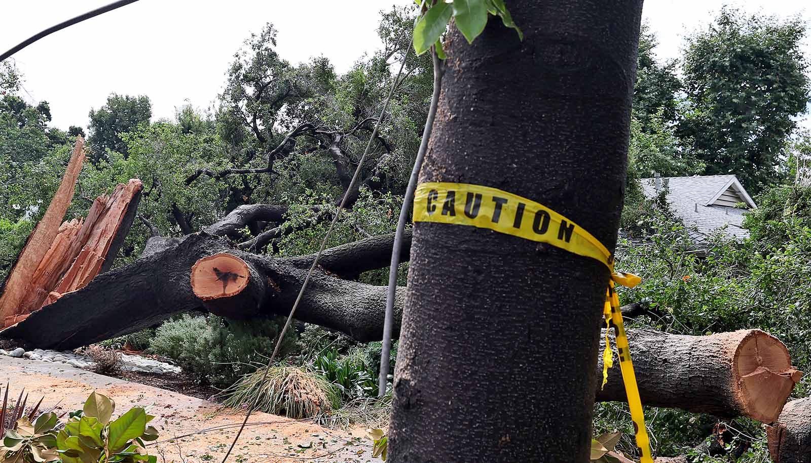
Back home in New Orleans, matters were worse. Under the onslaught of Katrina’s massive storm surge, dozens of levees failed, leaving much of the Crescent City underwater.
Downs’ home suffered little damage. But in the wake of the storm and subsequent others that hit Louisiana, his curiosity about hurricanes started to grow.
“Especially after Isaac hit as a Category 1 storm in 2012, I started following storms passionately, using online platforms and weather models to study and track their movements,” Downs says.
Today, as a PhD student at the University of Miami Rosenstiel School of Marine, Atmospheric, and Earth Science, Downs studies the intricacies of cyclogenesis—the process by which hurricanes develop and strengthen. And he is using a relatively new tool in weather forecasting to do so: artificial intelligence.
In a first-of-its-kind technique, he has developed an AI model that tracks tropical easterly waves as they travel across the Atlantic Ocean.
Often originating off the coast of Africa, tropical easterly waves are clusters of clouds and wind that can span several hundred miles.
“They pass through the Caribbean Sea every few days during the summer and fall, and most of them fizzle out over time, with maximum impacts being localized rainfall and gusty winds,” Downs explains.
“But some of these waves develop into tropical storms and hurricanes, such as Ian did in 2022.”
About 70% of Atlantic tropical cyclones originate from tropical easterly waves, according to Downs.
While existing algorithms have labored to identify and track these waves, Downs’ AI-based model has proved more effective. To create it, he mined historical weather data compiled by meteorologists at the National Hurricane Center (NHC)’s Tropical Analysis and Forecast Branch (TAFB). That data, which meteorologists recorded in detailed reports, included the locations of tropical easterly waves in the Caribbean Sea over the past several decades.
He then combined those historical observations with reanalysis data of past weather and climate conditions, training his AI model to accurately detect not only tropical easterly waves but also important weather phenomena such as the intertropical convergence zone—a belt of low pressure near the equator where trade winds from the Northern and Southern hemispheres converge—and the monsoon trough in the tropical North Atlantic and eastern North Pacific oceans.
Aidan Mahoney, a PhD student in atmospheric sciences at the Rosenstiel School who interns at the NHC through the National Oceanic and Atmospheric Administration’s Pathways Program, played a vital role in the project, assisting Downs in understanding tropical wave analysis and supplying him historical TAFB data.
“My supporting role in this collaboration actually started with a chance conversation about tropical wave analysis at TAFB,” Mahoney says.
“Early on, Will knew he wanted to train the tracker on TAFB analyzed tropical wave positions. He came to me with a quick question about TAFB analysis techniques that turned into the first of many long discussions about the complexities of tropical wave analysis and dynamics. And Will developed an expert understanding of the training data and the TAFB analyzed positions, which allowed him to create the best possible version of the tracker.”
A National Science Foundation grant as well as a Provost’s Fellowship in Interdisciplinary Computing helped make Downs’ machine learning model possible. His research on the model will be showcased in an upcoming edition of the American Meteorological Society’s Monthly Weather Review.
He has spent the past two years developing and testing it, achieving remarkably accurate results. And this year, forecasters at the National Hurricane Center have internal access to Downs’ wave tracker in real time.
“It has captured the waves where they seem to be going, and it’s not generating many false results either,” says Sharan Majumdar, a professor of atmospheric sciences at the Rosenstiel School and Downs’ advisor.
The robust dataset being produced by Downs’ model, he says, will help researchers to “more effectively study the behavior of these waves on a spectrum ranging from weak clusters of clouds to developing tropical cyclones.”
It is but one example of how AI and machine learning are increasingly being employed in weather and climate forecasting.
“AI models are essentially augmenting the current physical models,” Majumdar says. “The AI models for metrics such as the hurricane track and other atmospheric metrics that are on the larger scales have done very well, and they are even showing more skill than the physical models. But there are many things like hurricane intensity and severe thunderstorms, for example, where the physics-based models are still probably superior. One will have to train the AI models with information from the physical models, so there’s a symbiotic relationship between the two.”
With three tropical cyclones having already formed during this still-young hurricane season, Downs is keeping a watchful eye on the Atlantic, hoping that his AI model for tracking tropical easterly waves will help forecasters. He wants to continue using computing to help solve some of the biggest challenges that remain in storm forecasting.
“My AI model provides more flexibility because it can detect different patterns and detect different strengths and types of tropical waves using its many built-in layers,” he says. “But in the scope of overall storm forecasts, there’s still a lot more we have to learn.”
Source: University of Miami