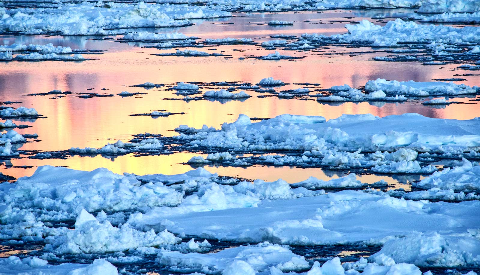
The amount of ice lost from Antarctica has tripled since 2012 and increased global sea levels by 0.12 inch in five years, according to new research.
“We are observing the effects of climate change.”
Scientists studied the change in mass of the Antarctic ice sheet from 1992 to 2017 and found the ice losses have increased global sea levels by 0.3 inches. The research reveals a sharp uptick in ice loss from 2012 to 2017.
“We found that Antarctica is continuing to lose ice and it’s accelerating—Antarctica is losing more than it did 10 years ago,” says project member Christopher Harig, an assistant professor of geosciences at the University of Arizona.
Bad news, but ‘not surprising’
From 1992 to 2012, ice was being lost at a steady rate of about 83.8 billion tons per year, contributing about 0.008 inch a year to sea level rise, researchers found in an earlier study.
The new study, which appears in the journal Nature, reports that since 2012, the amount of ice loss per year has tripled, to 241.4 billion tons, equivalent to about 0.02 inch per year of sea level rise.
“What we are finding is not super surprising, because it agrees with predictions,” Harig says. “We are observing the effects of climate change.”
“The ocean is absorbing most of the heat from climate change,” he says. “The ocean is getting warmer and that water is melting the Antarctic ice shelves.”
Sea levels are projected to rise up to three feet in the next 100 years, Harig says.
The research team attributes the threefold increase in ice loss from Antarctica to glacier speedup in West Antarctica and at the Antarctic Peninsula combined with reduced growth of the East Antarctic ice sheet.
“If we want to understand the next 100 years, we need to know what’s happening today…”
“This is the most robust study of ice mass balance of Antarctica to date. It covers a longer period than our 2012 IMBIE study, has a larger pool of participants, and incorporates refinements in our observing capability and an improved ability to assess uncertainties,” says Erik Ivins of NASA’s Jet Propulsion Laboratory in Pasadena, California, who helped lead the research.
The researchers combined 24 satellite surveys of Antarctica to produce the assessment, known as the Ice Sheet Mass Balance Inter-comparison Exercise, or IMBIE. Harig contributed to the assessment by analyzing data collected by the GRACE (Gravity Recovery And Climate Experiment) satellites.
“We have long suspected that changes in Earth’s climate will affect the polar ice sheets. Thanks to the satellites our space agencies have launched, we can now track ice losses and global sea level contribution with confidence,” says first author Andrew Shepherd of the University of Leeds in England.
“According to our analysis, there has been a steep increase in ice losses from Antarctica during the past decade, and the continent is causing sea levels to rise faster today than at any time in the past 25 years. This has to be a concern for the governments we trust to protect our coastal cities and communities,” he says.
A warmer future
The potential contribution to global sea level rise from Antarctica’s land-held ice is nearly 7.5 times larger than all other sources of land-held ice in the world combined. If the continent were to melt entirely, that would raise global sea level by 190 feet. Knowing how much ice Antarctica is losing is crucial for understanding the current and future impacts of climate change.
Sea levels could bring greater storm damage to NYC
The new study finds West Antarctica experienced the largest recent change. Its ice losses rose from 58.4 billion tons per year in the 1990s to 175.3 billion tons since 2012. Most of the loss came from ocean-induced melting of the Pine Island and Thwaites glaciers.
At the northern tip of the continent, ice-shelf collapse at the Antarctic Peninsula has driven a 27.6 billion ton per year increase in ice loss since the early 2000s. In contrast, the team found the East Antarctic ice sheet has gained a small amount of ice over the past 25 years: an average of 5.5 billion tons per year.
“This new IMBIE dataset will help improve projections of future sea level rise. The mass change datasets from IMBIE are extremely valuable for the ice sheet modeling community, because they allow us to test whether our models can reproduce present-day change and give us more confidence in our projections of future ice loss,” says coauthor Sophie Nowicki of NASA’s Goddard Space Flight Center in Greenbelt, Maryland.
“If we want to understand the next 100 years, we need to know what’s happening today,” Harig says.
Earth’s biggest ice sheet survived the last warm period
NASA, the European Space Agency, and a Royal Society Wolfson Research Merit Award funded the research.
The satellite missions providing data for this study include NASA’s Ice, Cloud, and land Elevation Satellite (ICESat); the NASA/German Aerospace Center Gravity Recovery and Climate Experiment (GRACE); the European Space Agency’s first and second European Remote Sensing satellites, Envisat and CryoSat-2; the European Union’s Sentinel-1 and Sentinel-2 missions; the Japan Aerospace Exploration Agency Advanced Land Observatory System; the Canadian Space Agency RADARSAT-1 and RADARSAT-2 satellites; the Italian Space Agency COSMO-SkyMed satellites; and the German Aerospace Center TerraSAR-X.
Source: University of Arizona