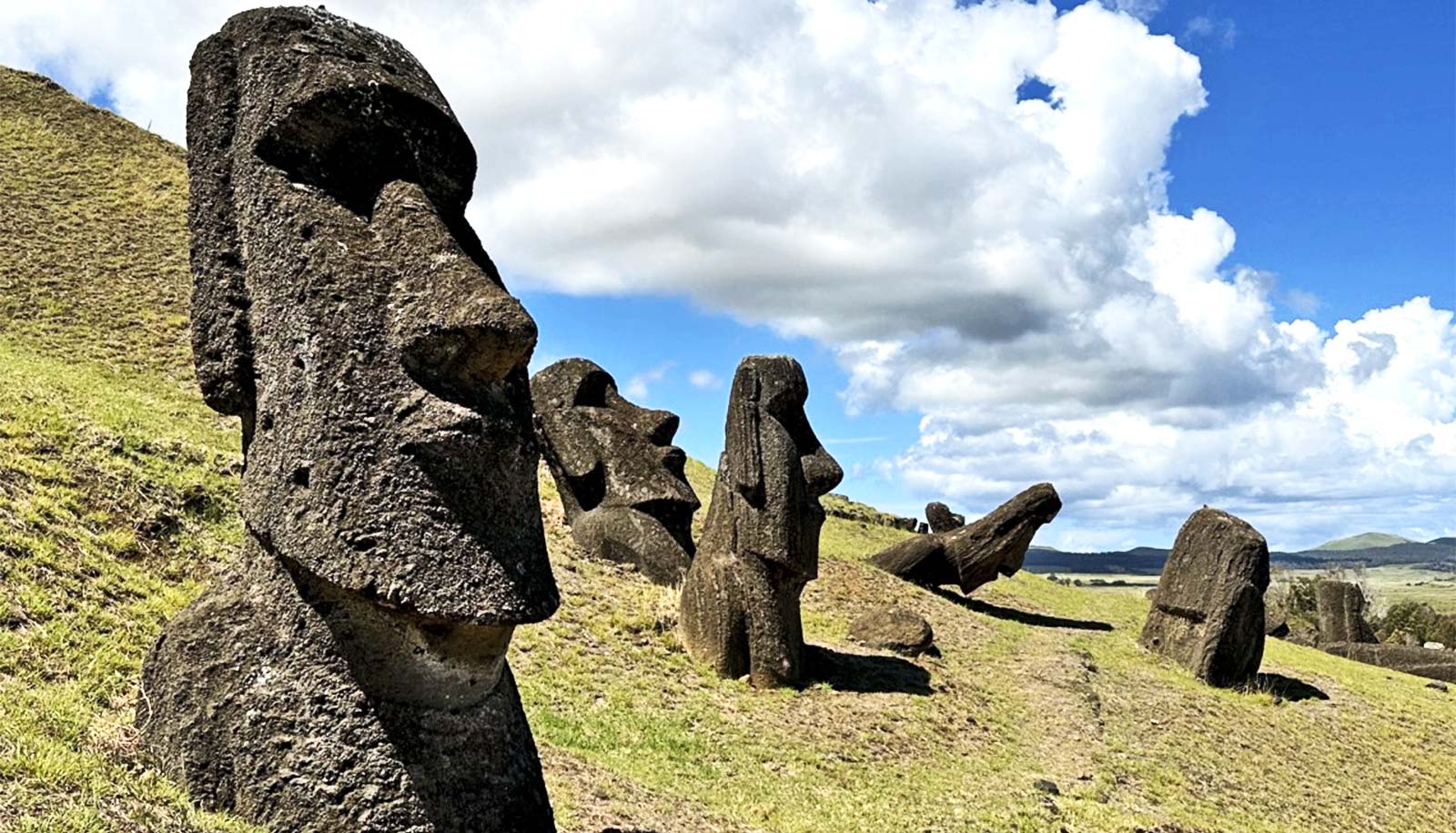
Researchers have created the first-ever digital 3D model of Easter Island’s main quarry, called Rano Raraku, where the Rapanui people carved the famous moai statues.
Terry Hunt has been doing fieldwork on Rapa Nui—the place known to many as Easter Island—since 2000.
In that time, the University of Arizona School of Anthropology professor has made countless trips to the island and explored corners of Rapa Nui that most of its 100,000 annual tourists will never see. In doing so, Hunt has helped seek answers to some of the island’s most gripping mysteries, including how its inhabitants moved the iconic moai statues.
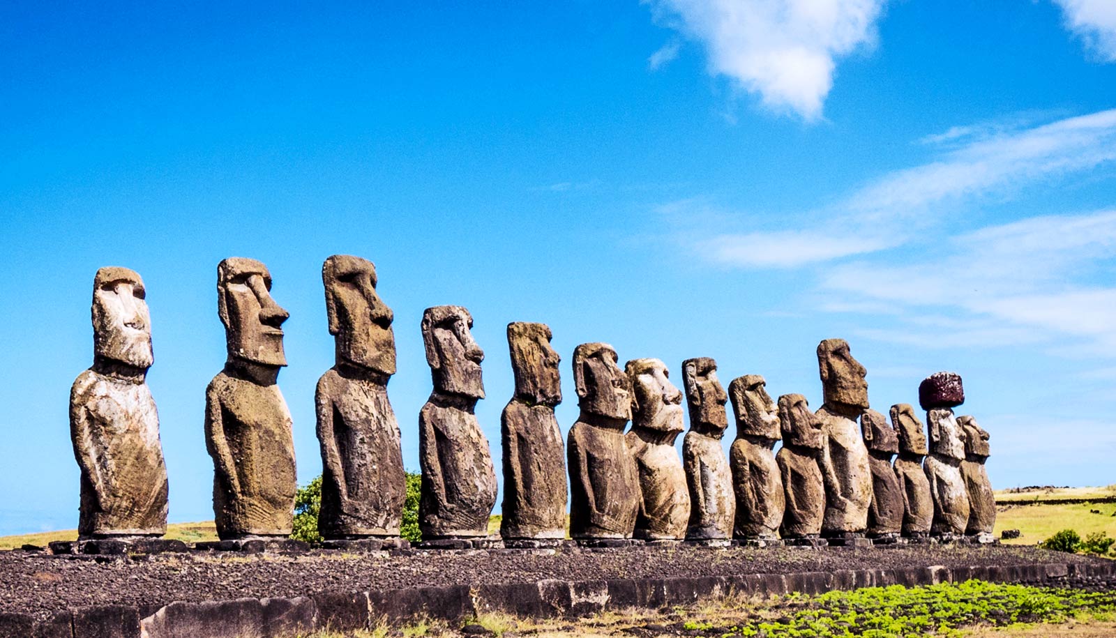
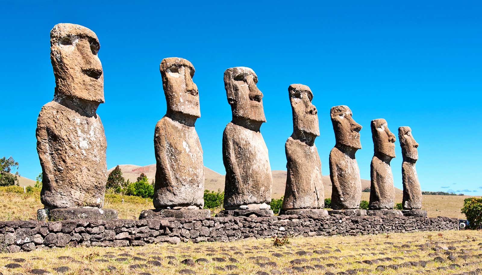
But thanks to Hunt’s latest project from Rapa Nui, most anyone with an internet connection can now see its iconic moai in pristine detail. Hunt and his colleagues have created the first-ever digital 3D model of the island’s main quarry, called Rano Raraku, where the Rapanui people carved the moai. Nearly 1,000 statues are scattered around the area; each is cataloged in the 3D model with data about their location, size, and how they’re positioned.
The model has already led to significant discoveries. Hunt is a coauthor on a study, released last month in the journal PLOS One, that finds that the moai were likely not built under the leadership of a single island-wide ruler, but rather by tribes or clans who worked 30 separate “workshops” across Rapa Nui.
The study helps sharpen the public’s understanding of one of the most confounding prehistoric civilizations in the world, Hunt says. It also contributes to a growing body of anthropology on collective action, the idea of people working together to do monumental things—such as building multi-ton statues of their deified ancestors—driven by a shared mission rather than the demands of a leader.
“In most cases for anthropologists, the rule has been that monumentality is kind of a good indicator of centralized control and centralized control implies hierarchy and social inequality,” says Hunt, whose faculty appointment is in the College of Social and Behavioral Sciences; he is also dean emeritus of the W.A. Franke Honors College.
But that likely wasn’t the case on Rapa Nui, Hunt and his coauthors found. Analysis of the site turned up about 30 ancient workshops spread out across the island, seen by archaeologists for the first time.
“That means that the greatest authority was probably at the level of the tribe, the mata, it means that there was not an overarching political leader, there wasn’t a king, there wasn’t an island wide chief,” Hunt says, adding that each mata probably included 100 or so people.
The team developed the model of the quarry at the request of Comunidad Indígena Ma’u Henua, a Native Rapa Nui organization that runs the national park and oversees archaeology on the island.
“We immediately says, ‘Yes, absolutely,'” Hunt says. “This is the Holy Grail of the island’s archaeology.”
To create the model, the team flew drones over the quarry, on the slope of an inactive volcano, and snapped 11,000 images during several field trips. Then, using computer software that took several weeks to process, the team stitched together the images to make a 3D model of the site.
From there, the analysis meant hours spent looking at the model, Hunt says, to find patterns in what the Rapanui had built.
“Archeologists often say that a lot of what we do is not so much what the public thinks of as discovery, but it’s more like analysis and the realization of things like, for example, that we had 30 workshops,” Hunt says. “That told us something we never even thought about, and that was really exciting.”
Caroline Keller, a junior in the School of Anthropology and study coauthor, helped identify moai in the images throughout the model. Keller already had experience with archaeological fieldwork, including summer trips to Sicily this year and last. But the research from Rapa Nui was Keller’s first foray into geographical information systems, or GIS, the mapping technology that powers the model. She’s now a GIS minor.
“I really enjoyed just poring over the maps and outlining the different things,” Keller says. “Before this project, I had never heard of GIS. So, it really kind of inspired me to add it as a minor because I was able to see how this technology would be helpful for archeological research.”
The digital nature of the work is also what drew Laryssa Shipley, an anthropology PhD candidate and coauthor, to the project when she was approached about the opportunity last spring. Shipley’s research has typically focused on Mediterranean and Near Eastern archaeology, with fieldwork in Greece and Egypt, often relying on technology-based tools and techniques at sites.
“Even though the Rapa Nui project differs in geographical and temporal scope with my own research, it actually is kind of normal for archaeologists to align themselves with projects that overlap with their interests methodologically,” says Shipley, who, alongside Keller, also helped identify moai and other features seen throughout the model.
And as someone who supports cultural heritage in her fieldwork in Greece, Shipley was also intrigued by how the 3D model could allow for local monitoring of Rano Raraku and provide information for conservation planning. The model and the data behind it have all been shared with Comunidad Indígena Ma’u Henua leaders.
“The moai are the embodiment of their ancestors,” Hunt says. “The Rapanui take that very seriously, and their preservation is a great concern for them. So, what we’re doing in working with them is engaging them.”
Earlier this fall, Hunt coauthored another study that adds further support to a theory he helped popularize that says that the moai were “walked” into place by well-coordinated teams of Rapanui using ropes.
The theory, in Western science, dates at least to the late 19th or early 20th centuries, when researchers learned about a walking moai in Rapanui oral traditions. Hunt in 2012 helped create a reenactment of a walking moai with a 4.35-ton replica statue. National Geographic and PBS’s NOVA documented the experiment.
The newest paper on walking moai, published in the Journal of Archaeological Science, combines archaeological analysis and digital modeling based on 3D scans of moai to show in greater detail how the statues, and even the roads on the island, were specifically carved and shaped for walking the statues into place.
“Experimental archeology and oral tradition converged as independent lines of evidence here in a way that probably rarely happens,” Hunt adds.
And in another paper that Hunt led earlier this fall, also in the Journal of Archaeological Science, he found that Polynesian rats, alongside humans, likely played a significant role in the deforestation of palm trees on the island. The finding challenges a longstanding theory, which Hunt’s research has long refuted, that the Rapanui singlehandedly deforested the island to the point that their population collapsed.
Hunt and his colleagues studied the rats’ remains and gnaw marks on ancient palm seeds from past archaeological excavations on the island. They then created a computer model to predict how the rats’ population likely would have reached more than 11 million – enough to eat 95% of the island’s palm seeds.
In nearly three decades of work on Rapa Nui, Hunt says the question he gets from the public most often is whether there are still people living there.
“There are still people there, and that’s another way of saying that their society was a success and when you examine it more closely, there’s nothing bizarre about it,” Hunt says. “People did this, and people do similar things elsewhere—there are pyramids, there are skyscrapers, there are medieval churches. They’re all elaborate things that people built for some of the same reasons.”
Source: University of Arizona