Drought and reduced seasonal flooding of wetlands and farm fields threaten a globally important stopover site for tens of thousands of migratory shorebirds in California’s Sacramento Valley, a new study shows.
Analysis of historical biweekly NASA Landsat satellite images of the valley reveals that flooded habitat near the peak time of spring migration has shrunk by more than twice the size of Washington, DC over the last 30 years.
“On average, we’re losing an area about four times the size of Central Park each year…”
“On average, we’re losing an area about four times the size of Central Park each year, during a critical window of time in late March,” says Danica Schaffer-Smith, a doctoral student at Duke University’s Nicholas School of the Environment, who conducted the study with researchers from the nonprofit Point Blue Conservation Science.
More than half of all shorebird species in the Western hemisphere are now in decline, Schaffer-Smith notes.
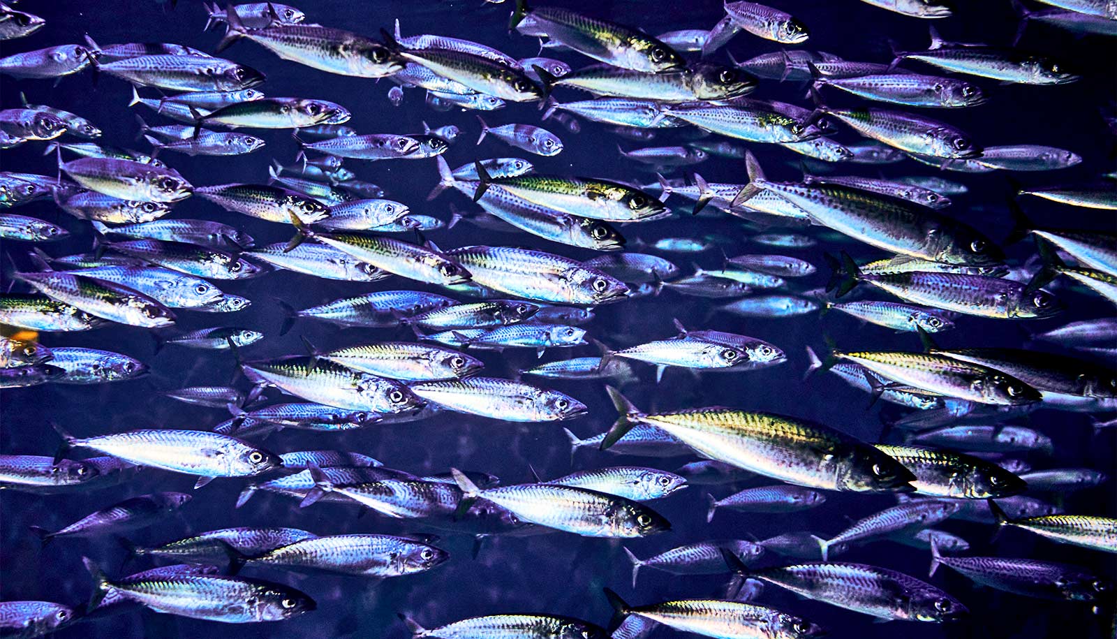
The Sacramento Valley site is an internationally important resting and refueling stop for tens of thousands of these wetland-dependent birds traveling along the Pacific Flyway. Some of these species migrate thousands of miles from Argentina to Alaska and back again each year.
“The fact that these highly mobile species are increasingly struggling to find flooded habitat on their migrations is an indicator that our freshwater wetland systems are in trouble,” Schaffer-Smith says. “Freshwater is essential for all life. Many other species rely on these same habitats, too.”
The Sacramento Valley once supported a huge network of wetlands connected to the San Francisco Bay Delta, but more than 90 percent of them have been drained for agriculture. Analysis of recent satellite images by Schaffer-Smith and her team shows that open water covers just three percent of the landscape during peak migration in April, when the birds urgently need flooded habitat to rest and feed.
Satellite tracking puts duck migration on the map
This winter’s heavy rains are unlikely to reverse these habitat losses.
“One season of plentiful rainfall can’t undo the effects of years of habitat destruction and increased water consumption for a growing number of competing uses,” she says. “However, most water in California is captured in reservoirs and diverted through a system of canals and ditches, which also makes it possible for us to intentionally manipulate flooded habitat on the landscape.”
During the worst of the recent drought years, conservation organizations joined forces to launch BirdReturns, a payment-for-services program that compensated farmers for flooding their fields to provide additional habitat for birds, Schaffer-Smith says. The new study’s findings could help guide the future timing and location of such initiatives.
“Years of drought have heightened scrutiny of water use in California to the point that even rice farmers have begun to explore a switch to drip irrigation to conserve water, but these fields provide important habitat where wetlands have been lost,” she says.
Schaffer-Smith and her colleagues report their work in the journal Remote Sensing of Environment.
“Satellite imagery can help us get the biggest bang for our buck by targeting conservation initiatives in a specific window of time at key locations,” she says. “Landsat is the longest running Earth observation satellite system we have, and free access to this data enables researchers to look at the effects of seasonality, climate cycles, and long-term trends in land-use change.”
Funding came from a NASA Earth and Science Fellowship and a National Science Foundation Doctoral Dissertation Research Improvement Award in Geography and Spatial Science.
Source: Duke University